The hardest part of getting into overlanding is not the gear, the vehicle, or the cost. It is figuring out where to actually go first. The hobby has a tendency to recommend routes that are either too vague ("drive on some BLM land!") or too ambitious ("the Rubicon is great once you know what you're doing"), neither of which helps someone trying to take their first real trip.
These ten trails are the honest answer to that question. They cover the country geographically, range from genuinely easy to solidly moderate, and are all accessible to a capable stock 4WD or lightly modified SUV. A few are even accessible to well-equipped AWD vehicles in dry conditions.
The best overlanding trails for beginners have three things in common: forgiving terrain that rewards slow driving over specialized skill, enough GPS coverage or trail marking to stay oriented, and a level of remoteness that feels like backcountry without requiring a full expedition kit to get back out.
At a Glance: 10 Best Beginner Overlanding Trails
| Trail | State | Difficulty | Min. Vehicle | Length |
|---|---|---|---|---|
| Valley of the Gods Road | Utah | Easy | AWD (dry) / 4WD | 17 miles |
| Schnebly Hill Road | Arizona | Easy-Moderate | High-clearance 4WD | 12 miles |
| Medano Pass Primitive Road | Colorado | Moderate | High-clearance 4WD | 22 miles |
| Ophir Pass | Colorado | Moderate | High-clearance 4WD | 9 miles |
| Mojave Road | California | Easy-Moderate | High-clearance 4WD | 140 miles |
| Uwharrie National Forest | North Carolina | Easy-Moderate | High-clearance 4WD | Varies |
| Black Hills National Forest | South Dakota | Easy | AWD / 4WD | Varies |
| Trans-Wisconsin Adventure Trail | Wisconsin | Easy-Moderate | AWD / 4WD | 1,200 miles |
| Rattlesnake Canyon | Colorado | Moderate | High-clearance 4WD | ~10 miles |
| Big Bend Ranch State Park | Texas | Easy-Moderate | High-clearance 4WD | 27+ miles |
1. Valley of the Gods Road, Utah
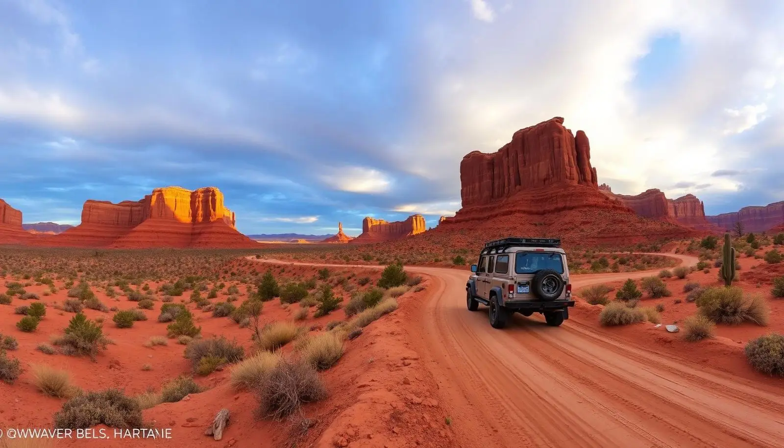
Valley of the Gods Road is the first trail most experienced overlanders point beginners toward, and they are right to do it. The 17-mile loop runs through a sandstone butte landscape in southeast Utah that looks like Monument Valley without the fee booth or the crowds. In dry conditions, a capable AWD vehicle with decent ground clearance can complete it without drama. After rain, it belongs to 4WD only.
The road is an out-and-back or a loop depending on which county road you exit from, and it takes 1.5 to 2 hours to drive at a comfortable pace. There are no services, no facilities, and no designated campsites, but dispersed camping is permitted on BLM land along the road, and waking up surrounded by those buttes at sunrise is the experience that turns casual drivers into overlanders.
What makes it beginner-appropriate: no significant obstacles, no technical sections, and clear visuals so you always know where you are going. What makes it honest: the road turns greasy and impassable in wet conditions faster than most beginners expect. Check the forecast. Do not attempt it in the 24 hours after rain.
Nearest town: Bluff, Utah. Access: US-163 from Mexican Hat or UT-261 from the north.
2. Schnebly Hill Road, Sedona, Arizona
Sedona's backcountry roads get less attention than its hiking trails, which creates an opportunity. Schnebly Hill Road is a 12-mile route from the edge of Sedona up through the red rock formations to the Mogollon Rim, offering some of the most visually spectacular terrain accessible to a stock 4WD in the American Southwest.
The lower section is the most technical: rocky, loose, and narrow in places, with a few ledges that reward slow, deliberate driving over speed. A 4Runner, Wrangler, or Tacoma on stock tires handles the full route without difficulty. The upper section opens up into pinyon-juniper country with views of the Verde Valley that justify every rock you crept over to get there.
For beginners, Schnebly Hill Road teaches the fundamental skill of this hobby: read the terrain ahead, pick your line early, and drive at the speed the ground allows rather than the speed your ego suggests. That lesson, repeated across 12 miles of varied surface, is worth more than any trail school curriculum.
Nearest town: Sedona, Arizona. Access: Schnebly Hill Road off AZ-179 at the south end of Sedona. High-clearance 4WD recommended; the first mile is accessible to passenger cars.
3. Medano Pass Primitive Road, Colorado
Medano Pass is one of the most unique routes in the country: 22 miles connecting Great Sand Dunes National Park and Preserve to the Wet Mountain Valley, with nine creek crossings of Medano Creek and a 10,040-foot summit at the pass. The terrain transitions from deep sand alongside the dunes to alpine forest to open high country, three completely different environments in a single road.
The difficulty is rated moderate, and the primary challenges are the sandy lower section (air down to 20 PSI) and the creek crossings, which range from ankle-deep in late summer to knee-deep during spring runoff. A stock Jeep Wrangler, 4Runner, or Tacoma completes this route without modification. AWD-only vehicles and mini-SUVs will get stuck in the sand.
September is the ideal month: creek levels are low, crowds are gone, and aspens in the upper section are beginning to turn. The 21 dispersed campsites in the National Preserve section make this an ideal first overnight overlanding trip.
Entry fee: $25/vehicle park pass (valid 7 days). Season: Late May/June through October.
4. Ophir Pass, Colorado
Ophir Pass is a 9-mile route in the San Juan Mountains connecting Ophir to Silverton, and it is the beginner's entry point to Colorado high-country 4x4 driving. The pass tops out at 11,789 feet, the surface is mostly dirt and loose rock, and the views from the summit across the San Juans are the kind that make people immediately start planning their next Colorado trip.
The eastern approach from Silverton is the easier side: wide, well-graded, and suitable for any high-clearance 4WD. The western approach from Ophir is slightly narrower and steeper, with a few switchbacks that require careful line choice. Neither side requires a modified vehicle or any specialized recovery gear.
What Ophir Pass teaches beginners: altitude management (engine power drops significantly above 10,000 feet), the feel of loose rock surface (different from sand, different from mud), and the discipline of checking weather before committing to high-country routes. Summer afternoon thunderstorms in the San Juans are not suggestions. Be off the exposed sections by noon.
Nearest towns: Silverton (east) and Telluride (west). Season: Typically July through September, depending on snowpack.
5. Mojave Road, California
The Mojave Road is 140 miles of historic desert route crossing the Mojave National Preserve from Needles to Barstow. It is not a technical trail, the difficulty is in distance management, desert logistics, and navigation rather than obstacle-clearing skill. That makes it an excellent beginner route for overlanders who want to experience multi-day trip planning in a genuine desert environment.
The route follows an old wagon road across lava fields, salt flats, and sand dunes. Most sections are accessible to any high-clearance 4WD; a few sandy sections benefit from aired-down tires. Cell coverage is nonexistent across most of the route. Navigation requires either a downloaded offline map or the Mojave Road GPS guide.
The road is managed by the BLM and crosses the Mojave National Preserve. Dispersed camping is permitted in the BLM sections. Mojave Road teaches the lessons that define multi-day overlanding: fuel planning (carry extra), water management (carry more than you think), and the discipline of checking the forecast before entering a desert corridor in summer.
Best season: October through April. Summer heat in the Mojave reaches life-threatening levels and is not a beginner environment.
6. Uwharrie National Forest, North Carolina
Uwharrie is the best answer in the eastern United States to the question "where do I actually go?" Most overlanding media treats the hobby as a western pursuit, which leaves beginners east of the Mississippi with no useful guidance. Uwharrie National Forest in central North Carolina fixes that.
The forest has dedicated 4x4 roads ranging from well-graded forest service tracks to rocky, rooty terrain that genuinely challenges stock vehicles. The primary 4x4 route system covers 20+ miles of connected trails, and weekday traffic is light enough to feel remote despite being within two hours of Charlotte and the Triad.
The terrain is hardwood forest, creek crossings, and moderate rock, completely different from western desert and high country driving. Learning to read wet clay, muddy creek bottoms, and wet rock on Uwharrie trails builds skills that transfer everywhere. This is where east coast overlanders earn their education.
Entry fee: None for day use. Camping at designated sites is $10-15/night or dispersed in permitted areas. Nearest town: Troy, North Carolina.
7. Black Hills National Forest, South Dakota
The Black Hills are an underrated overlanding destination that most of the country drives past on the way to Badlands or Mount Rushmore. The national forest contains hundreds of miles of forest service roads, from maintained gravel suitable for any 4WD to rougher tracks that reward high clearance.
For beginners, the forest service roads around Spearfish Canyon and the Centennial Trail corridor offer immediate access to pine-covered ridgelines, granite formations, and the complete isolation that people associate with the American West, without the technical difficulty of Colorado or Utah high-country routes.
The honest case for the Black Hills: it is the region where a beginner can load up the truck after work on a Friday, drive to a forest service road an hour outside of Rapid City, and be camped in legitimate backcountry by dark. No reservation, no permit, no technical prep. Just get in and go.
Season: May through October. Winter access depends on snow; some roads are groomed for snowmobile use in winter.
8. Trans-Wisconsin Adventure Trail (TWAT)
The Trans-Wisconsin Adventure Trail is 1,200 miles of connected route crossing Wisconsin from north to south, with roughly 50 percent pavement, 40 percent gravel, and 10 percent dirt and sand. It is not a trail in the traditional sense, it is a route, pieced together across varied surfaces to connect one end of the state to the other.
That mix of surfaces is exactly what makes it ideal for beginners. You build comfort on gravel before you encounter dirt. You get sand sections without committing to a full desert crossing. The route passes through state forests, along rivers, and through small towns that have gas stations and diners. If something goes wrong, you are not 50 miles from help.
The TWAT is the route for overlanders who want to do a multi-day off-pavement trip in the Midwest without driving to Utah first. It is also the route that proves overlanding is not a western states monopoly, the upper Midwest has its own version of backcountry, and this trail covers a generous slice of it.
Resources: The official TWAT route is available on both Gaia GPS and Ride with GPS. A GPX download is available through the Wisconsin Off-Road Enthusiasts organization.
9. Rattlesnake Canyon, Colorado
Rattlesnake Canyon sits in the Colorado National Monument / Black Ridge Canyons Wilderness area near Grand Junction, and it is one of the best-kept secrets in accessible Colorado overlanding. The route accesses a canyon system with the highest concentration of natural arches outside of Arches National Park, most of which see almost no foot traffic because reaching them requires a high-clearance 4WD.
The route itself is approximately 10 miles and rates moderate difficulty. Rocky terrain, some ledge crossings, and narrow canyon passages make it more engaging than a forest service road drive, but well within the range of a stock Wrangler or 4Runner. The arch field at the end is the payoff: a collection of sandstone arches ranging from 10 to 60 feet, sitting in near-complete solitude.
This is the trail for someone who wants to understand why overlanders put up with the prep, the gear cost, and the logistics. Park in the lot at the trailhead and you are surrounded by minivans. Drive the canyon to the arch field and you are somewhere else entirely.
Access: Black Ridge Canyons Wilderness boundary west of Grand Junction. BLM-managed. No fee for day use.
10. Big Bend Ranch State Park, Texas
The approach to Big Bend Ranch State Park is itself a beginner route worth documenting. FM 170, the River Road between Presidio and Lajitas, runs 50 paved miles along the Rio Grande with turnoffs onto dirt tracks that access canyon overlooks, hot springs, and primitive campsites. The paved road is accessible to any vehicle. The dirt tracks off it range from easy to moderate.
For beginners willing to commit to the full interior experience, the Sauceda approach road is 27 miles of maintained dirt from FM 170 to the interior ranger station, challenging enough to feel like real overlanding, forgiving enough for a first trip. From the Sauceda station, the park's most accessible interior roads open up.
Entry fee: $5/person/day (13+). Best season: October through March.