You already know about Big Bend National Park. Everyone does. You have seen the pictures: the Rio Grande bending through limestone canyons, the Chisos Mountains rising out of the Chihuahuan Desert, the license plates from 40 states crammed into the Chisos Basin parking lot. It is spectacular. It is also managed infrastructure, a visitor center, paved loops, and a wait for a campsite reservation.
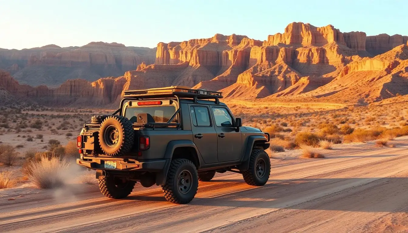
Forty miles west, across the same stretch of high desert, there is a 311,000-acre state park that most visitors to the Big Bend region do not know exists. Big Bend Ranch State Park has 70 miles of unmaintained 4x4 roads. No reliable cell signal anywhere in the interior. Extreme summer heat that the park staff describes with language usually reserved for industrial accidents. And a trail called Fresno Canyon Road that people who have driven it describe, without exaggeration, as the best overland route in the state of Texas.
This guide is for drivers who want the real Big Bend experience, not the postcard version.
Big Bend Ranch State Park vs. Big Bend National Park
The name confusion is real and it matters for planning. They are separate units of land managed by different agencies, with different rules, different infrastructure, and a very different experience on the ground.
Big Bend National Park is federally managed by the NPS. It has paved roads, developed campgrounds, a visitor center, and services at Panther Junction. Reservations for popular campsites book out months in advance.
Big Bend Ranch State Park is managed by Texas Parks and Wildlife. It has no paved interior roads. No services in the interior beyond what you bring. No reliable cell coverage. The main interior ranger station, the Sauceda Ranger Station, sits 27 miles from the nearest paved road along FM 170. The park entrance fee is $5 per person per day for anyone 13 and older.
The Bottom Line
The Honest Truth About Big Bend Ranch State Park
Here is what the tourism brochures skip over: this park is one of the most genuinely remote and unforgiving places in the lower 48 states, and it does not care about your itinerary.
There is no fuel inside the park. No fuel for 27 miles in any direction once you are in the interior. If you run short, you are not calling for a jerry can delivery, you are waiting for a ranger who may or may not be nearby, or you are calling for a tow that will take hours and cost significantly more than the trip.
Summer Heat Warning
The road surface is unforgiving to tires. The terrain is sharp Chihuahuan Desert rock with large cactus lining both sides of most routes. A good set of all-terrain tires and a working tire repair kit are the minimum. Getting a flat on Fresno Canyon Road with no spare and no cell signal is not a camping story, it is an emergency.
Know all of that going in. Then go.
The Two Routes That Define Big Bend Ranch State Park
Fresno Canyon Road: The Best Overland Trail in Texas
Fresno Canyon Road is accessed from inside the park, east of the Sauceda Ranger Station. The route begins on desert flatlands, wide open, rocky, and austere, and then descends into Fresno Canyon, one of the most dramatic canyon environments in the state. The canyon walls rise around you, the road drops into the canyon bed, and the terrain becomes legitimately technical on the descent and ascent.
The trail is rated a difficulty 4 of 5. The canyon descent is where that rating comes from: loose rock, steep grade, and a surface that rewards slow, deliberate driving. A Jeep Wrangler Rubicon or a 4Runner TRD Pro on all-terrain tires handles this comfortably. A stock half-ton truck with street tires does not.
Why Fresno Canyon Matters
Before running Fresno Canyon, check conditions at either the Barton Warnock Center (east park entrance, near Lajitas) or Fort Leaton (west entrance, near Presidio). Road conditions change after rainfall, desert flash flooding is real and the canyon concentrates runoff quickly.
Los Alamos Loop: The Technical Route
Los Alamos Loop sits in the extreme northeast section of the park, winding through hills and Panther Canyon. Where Fresno Canyon Road is scenic and moderately technical, Los Alamos Loop is purpose-built to challenge capable vehicles. It is not a maintained road. It is not a route for lower-clearance vehicles. And it is emphatically not a trail to run alone.
Expect plenty of articulation, off-camber sections, and rocky terrain that rewards experienced spotters and slow technical driving. If Fresno Canyon is the destination trail, Los Alamos is the trail for drivers who want to push their rig and their skill set.
Los Alamos Loop Safety
Key Trail Specs
| Route | Difficulty | Notes |
|---|---|---|
| Fresno Canyon Road | 4 / 5 | Technical descent and ascent from canyon bed. Best overall overland route in the park. |
| Los Alamos Loop | 4 to 5 / 5 | Most technical non-maintained route. Not for beginners or solo drivers. |
| Sauceda Station Approach | 2 / 5 | 27-mile dirt road access from FM 170. Manageable for most high-clearance vehicles. |
| FM 170 River Corridor | 1 / 5 | Paved scenic drive along the Rio Grande connecting park entrances. All vehicles. |
Permits, Fees, and Check-In
Entry to Big Bend Ranch State Park is $5 per person per day for anyone 13 and older. Texas State Parks Pass holders enter free.
Camping in the interior requires checking in at one of the two park entrances before heading in: the Barton Warnock Education Center near Lajitas handles the eastern approach, and Fort Leaton State Historic Site near Presidio handles the western approach. Rangers at both locations provide current road condition updates, maps, and site assignments. This check-in is not optional bureaucracy, it is how the park knows you are in there and where to look if you do not return.
Interior primitive drive-in campsites accommodate up to 8 to 12 people depending on the site. Maximum stay is 14 nights. There are no hookups, no water, and no services. Carry everything in. Carry everything out.
The Remoteness Math
27 miles of rough dirt from FM 170 to the Sauceda Ranger Station. No cell service in the park interior. No fuel in the park. Nearest full-service town (Alpine or Presidio) one to two hours from the park boundary depending on your approach.
Do that math before you leave. For a three-day trip into the interior, figure your fuel load at your vehicle's worst-case consumption, rough terrain, 4WD low, running the AC in the afternoon. A Tacoma TRD Pro running 15 miles per gallon on rough terrain, driving 100 miles of interior roads over three days, needs about 7 gallons beyond what it takes to get in and out. Carry a 5-gallon or 10-gallon jerry can for insurance.
Communications
Best Time to Visit
October through March is the overlanding window for Big Bend Ranch. Temperatures drop into a range that makes hiking, driving, and camping comfortable. The Chihuahuan Desert in November and February is one of the most beautiful environments in the country, cold nights, clear skies, dramatic light on the canyon walls.
- December, February: Cold nights, occasionally below freezing at higher elevations. Pack a 15 to 20°F sleeping bag.
- March, May: Shoulder season. Wildflowers after winter rains, moderate temps. Watch for flash flood potential.
- May, September: Avoid unless experienced with extreme heat environments. 100°F+ daily.
- October, November: Peak overlanding season. Best weather, clearest skies.
What to Carry Into Big Bend Ranch
The standard overlanding kit applies here with three additions specific to this environment:
- Extra water: One gallon per person per day minimum. Two gallons per person per day in heat above 90°F. There is no water in the interior. None.
- Full-size spare tire: The sharp rock surface is unforgiving. A sidewall puncture beyond what a plug can fix leaves you stranded without one.
- Detailed offline maps: Download the park's Roads to Nowhere guide and load routes into Gaia GPS or onX Offroad before you leave cell signal behind.
The Short Version
Big Bend Ranch State Park is Texas's version of the backcountry, 311,000 acres of Chihuahuan Desert, two of the most memorable 4x4 routes in the state, and almost nobody on them. The entry bar is real: high-clearance 4WD, genuine heat management, extra fuel, a satellite communicator, and the judgment to check conditions at the entrance before committing to the interior.
The national park gets the crowds. The ranch gets the road.