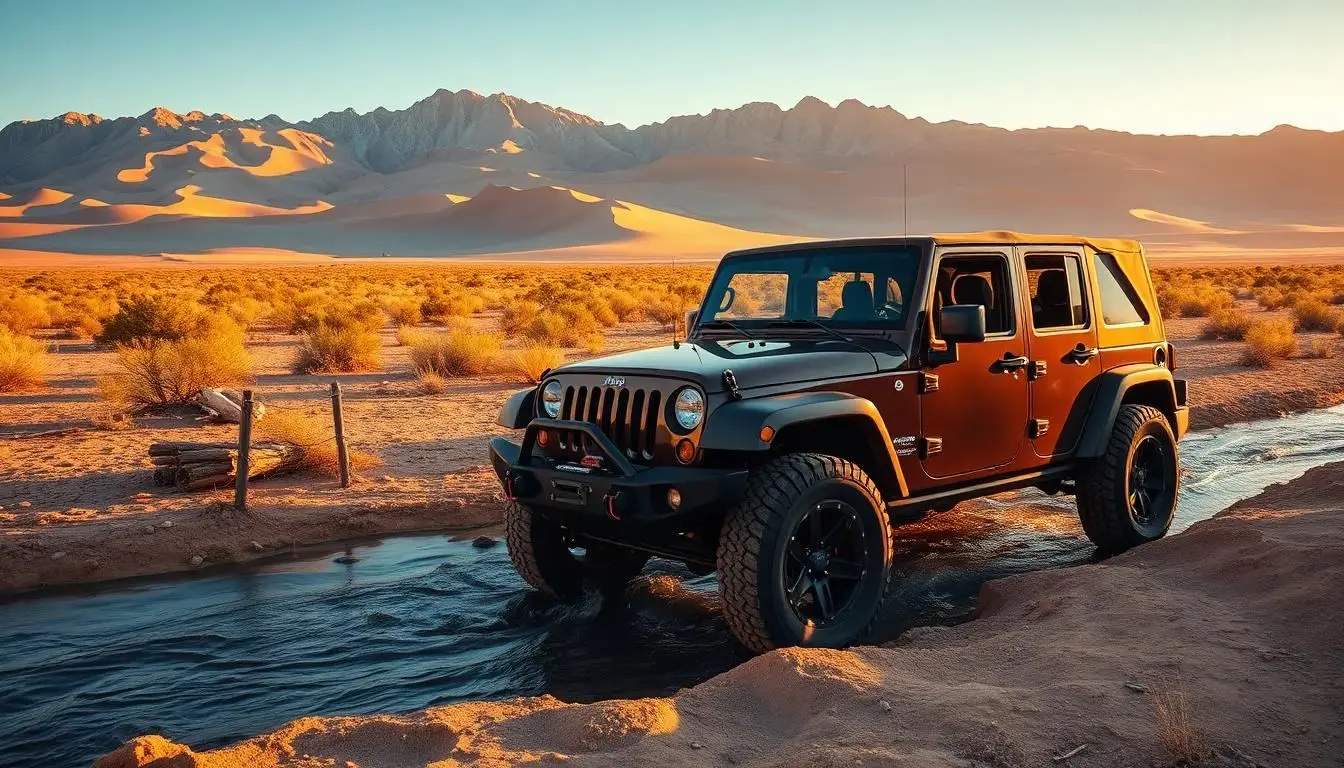
You are airing down in the parking lot outside Great Sand Dunes National Park, surrounded by families in rental minivans and tourists in flip-flops heading to the dune field. The sign at the trailhead reads: High-clearance 4WD required. All-wheel-drive vehicles will get stuck. The family in the Subaru Outback next to you reads the sign, hesitates, and turns around. You keep airing down.
That is more or less how the Medano Pass Primitive Road begins, with a filter. The road does not care about your purchase price or your lift kit. It cares about ground clearance, real four-wheel-drive, and whether you aired down before you started. Get those three things right and the next 22 miles offer something most Colorado 4x4 routes do not: dunes, creek crossings, alpine forest, a mountain pass at 10,040 feet, and 21 dispersed campsites in a National Preserve, all in a single road that nobody outside the overlanding community seems to know exists.
This is the complete guide to the Medano Pass Primitive Road. What it takes to drive it, when to go, where to camp, and the one thing every guide gets wrong about timing.
What the Medano Pass Primitive Road Actually Is
The Medano Pass Primitive Road is a 22-mile unpaved route that connects Great Sand Dunes National Park and Preserve to the Wet Mountain Valley on the eastern side of the Sangre de Cristo Mountains. The south entrance is one mile north of the park visitor center, just past Pinon Flats Campground. The north exit drops you out onto Colorado Highway 69 south of Westcliffe.
Most people treat it as an out-and-back from the south. That is one way to do it. The better way, especially for overlanders planning a multi-day trip, is to run the full through-route: come in from the dunes side, camp at one of the 21 numbered sites in the National Preserve section, and exit through the Wet Mountain Valley toward Westcliffe or Alamosa.
The road takes between 2.5 and 3 hours to drive in normal summer conditions. Budget more if you are camping overnight, exploring side terrain, or dealing with soft sand.
The Honest Truth About Medano Pass: It Is Not What You Expect
Here is what most write-ups about Medano Pass get wrong: they pitch it as a dunes experience with a road attached. The dunes are the draw, and the road is the bonus. This is backwards.
The dunes themselves are accessible to anyone willing to walk. The road is where the experience is. The first four miles run through deep sand alongside Medano Creek, and in that stretch, your vehicle behaves like it is trying to drive through a beach. The creek crossings come fast and repeatedly, nine of them in total, with the water depth ranging from a few inches in late summer to knee-deep in May and June. The sand gives way to rocky canyon terrain, which gives way to pine forest, which gives way to the high country approaching the pass.
By the time you reach the 10,040-foot summit of Medano Pass, you are in a completely different landscape than the one you started in. That is the honest draw here: the terrain transition. Nowhere else in Colorado do you drive from a dune field to a mountain pass in a single road, with a creek-crossing section in the middle that keeps you honest about your vehicle's actual capability.
Trail Specifications
| Spec | Detail |
|---|---|
| Total Length | 22 miles |
| Elevation at Pass | 10,040 feet |
| Creek Crossings | 9 |
| Dispersed Campsites | 21 numbered sites (starts at mile 5.2) |
| Difficulty | Moderate |
| Drive Time | 2.5 to 3 hours |
| Season | Late May/June through October |
| Entry Fee | $25 per vehicle (Great Sand Dunes NP pass, valid 7 days) |
Vehicle Requirements
Tire Pressure: The Most Important Prep Step
The Medano Pass Primitive Road has two distinct terrain types that demand different tire pressures, and most people do not know this going in.
From the south entrance through the first several miles of sand and creek crossings, you want to air down to around 20 PSI. This dramatically increases your tire's contact patch with the sand and is the difference between flowing through the soft sections and digging yourself in. The Park Service publishes this recommendation and provides a free air station near the south entrance from 7am to 9pm in the warmer months.
Critical Tip
The Nine Creek Crossings: What to Expect
Medano Creek crosses the road nine times on the south half of the route, and the experience changes significantly depending on when you go.
In May and early June, during peak snowmelt, the crossings can run knee-deep and have a meaningful current. The water is cold, the bottom is sandy and unpredictable, and the risk of flooding your air intake or washing out a vehicle without a proper high-clearance setup is real. This is the time of year when vehicles get into trouble on this road.
By late June, the creek drops significantly. By September, widely considered the sweet spot for this road, the crossings run 6 to 15 inches with a firm, compact sand bottom. You drive through them slowly, keeping the revs up to prevent water from backing up into the exhaust, and it is genuinely fun rather than stressful.
Creek Crossing Technique
Dispersed Camping: The 21 Sites
Camping on the Medano Pass Primitive Road is one of its most underused features. Starting at mile 5.2 from the south entrance, the road passes 21 numbered dispersed campsites in Great Sand Dunes National Preserve. Each site is marked with a brown post and a camping symbol.
These are primitive sites: no hookups, no facilities, and no fee beyond the park entrance pass. You camp next to the road in the Preserve section of the park, meaning you are in a different land management unit than the National Park itself, dispersed camping is permitted here in a way it is not in the main park.
The sites fill on summer weekends. September weeknights are largely empty. The best sites in the upper miles offer forest cover and the sound of the creek; the lower sites near the dunes give you the surreal view of a 700-foot sand formation a few miles away.
Leave No Trace
Best Time to Drive Medano Pass
The road is typically closed from November through May due to snow at the pass and dangerous creek conditions during snowmelt. That leaves a window of roughly June through October.
- Late June to July: Creek water at a manageable level but peak crowds and afternoon thunderstorms.
- August: Continued crowds and afternoon storm risk from monsoon patterns.
- September: The sweet spot. Low creek, no crowds, fall color, and reduced storm risk.
- October: Possible early in the month but watch for early snowfall.
What You Need to Complete This Road
Beyond a high-clearance 4WD, here is what matters specifically for Medano Pass:
- Portable air compressor: Non-negotiable. You will need to air down for sand, reinflate for rocks, and possibly air down again.
- Traction boards: One set per vehicle for soft-ground recovery scenarios.
- Offline maps: Cell service is nonexistent. Download Gaia GPS or onX Offroad maps before you leave the parking lot.
- Satellite communicator: Essential for overnight camping or solo runs. The Sangre de Cristo Mountains have no cell coverage.
Quick Reference
| Question | Answer |
|---|---|
| Can a stock Jeep Wrangler drive this? | Yes. Stock height, stock tires, proper 4WD. |
| Can a 4Runner TRD Pro drive this? | Yes, easily. |
| Can a Toyota RAV4 drive this? | No. AWD without low range, insufficient clearance. |
| Can a Subaru Outback drive this? | No. Park Service says wagons will get stuck. |
| Is a permit required? | No, just the park entry pass ($25/vehicle). |
| Reservations for campsites? | No. First come, first served. |
| Suitable for solo travel? | Yes, with a satellite communicator. |
| Hardest section? | The mud pit in the lower section after wet weather. |
The Short Version
Medano Pass is a legitimate overlanding route that almost no one outside the community knows exists inside a busy national park. Twenty-two miles, nine creek crossings, a 10,040-foot pass, and 21 free campsites, all accessible with a standard park entry pass and the right vehicle. September is when it earns its reputation. Air down before you start, air back up before the rocks, and drive the creek crossings like you mean it.
The minivans will turn around at the sign. That is the filter. Once you are through it, the road is yours.