
Mt. Hood National Forest Trails
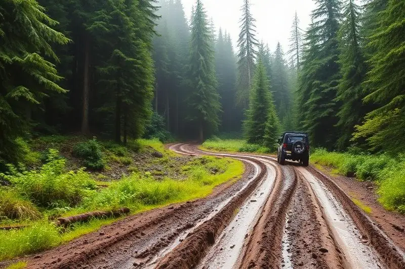
Mt. Hood National Forest Trails is a moderate 150+ miles off-road trail near Sandy, OR, best run June - October. The gear list marks All-terrain tires, 4WD with low range and Tow strap as required, and 2" lift kit and Skid plates as recommended. A stock high-clearance 4x4 can run it; check the gear list before you go.
Trail Conditions
No reports yet
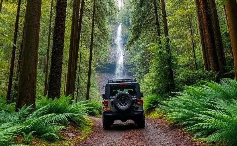
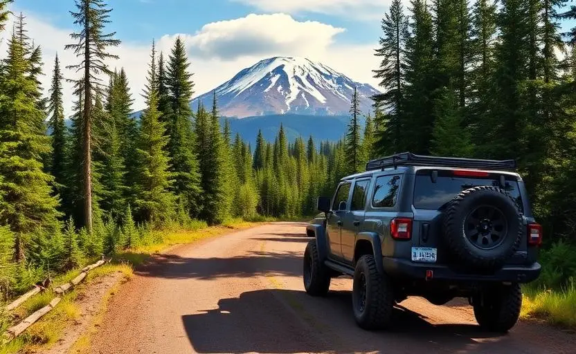
Mt. Hood National Forest wraps around Oregon's tallest peak, providing hundreds of miles of forest roads through terrain ranging from low-elevation old-growth to alpine meadows with views of Hood's glaciated summit. The forest is remarkably accessible from Portland, yet forest roads quickly leave civilization behind. The historic Barlow Road, the original wagon route over the Cascades, adds historical significance to the adventure. Berry picking, mushroom hunting, and fishing add seasonal activities to the off-road exploration.
Fun Facts
Mt. Hood is the most climbed glaciated peak in North America, with over 10,000 summit attempts annually.
Timberline Lodge was built by the WPA during the Great Depression and served as the exterior of the Overlook Hotel in The Shining.
The forest contains the historic Barlow Road, the final overland section of the Oregon Trail.
Mt. Hood has 12 named glaciers, though several are rapidly retreating.
🛞 Tires
🔧 Suspension
⚙️ Drivetrain
🪢 Recovery
🛡️ Protection
Closest campgrounds to Mt. Hood National Forest Trails:
- Still Creek · Government Camp · 2 mi (straight-line)
- Trillium Lake Campground · 4 mi (straight-line)
- McNeil Campground · 7 mi (straight-line)
- Tollgate Campground · 7 mi (straight-line)
- Frog Lake · Maupin · 8 mi (straight-line)
- Tilly Jane Campground · 8 mi (straight-line)
Straight-line distance. Check the map for drive time.
GPS Coordinates
Import into Gaia GPS, OnX Offroad, or Garmin
Map of Sandy, OR
5-Day Forecast
Nearby Trails

WHAT YOU'LL NEED
A mild lift, all-terrain tires, and correct gear ratio will get you through this trail confidently.
Tire Size Calculator
Convert tire sizes and compare diameter differences before you swap.
Size up correctly, 33s vs 35s matters on moderate terrain.
Gear Ratio Calculator
Find the right gear ratio after lifting or upsizing tires.
Re-gear after a tire upgrade to restore trail torque and MPG.
Wheel Fitment Calculator
Calculate backspacing and offset so wider wheels clear your suspension.
Extra wheel width = extra clearance on tight lines. Check offset before buying.
MPG Calculator
Estimate fuel economy after a tire upgrade, important for remote runs.
Bigger tires cut MPG. Plan your fuel stops for this trail.