
Gifford Pinchot National Forest
Gifford Pinchot National Forest is a moderate 200+ miles off-road trail near Randle, WA, best run June - October. The gear list marks All-terrain tires, 4WD capability and Tow strap as required, and 2" lift kit and Recovery boards as recommended. A stock high-clearance 4x4 can run it; check the gear list before you go.
Trail Conditions
No reports yet
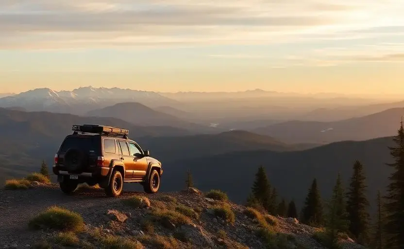
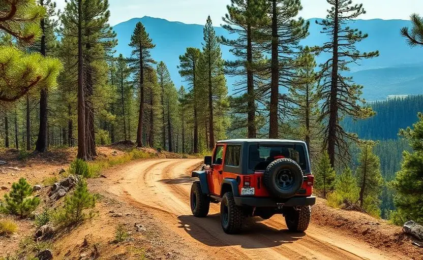
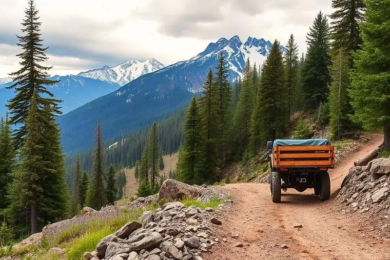
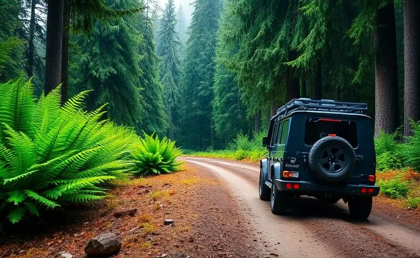
Gifford Pinchot National Forest offers a unique combination of volcanic landscapes and old-growth forest that's unlike any other destination in the Pacific Northwest. Forest roads wind through the Mt. St. Helens blast zone, where the devastating 1980 eruption stripped the landscape bare, and through ancient forests untouched by the eruption just a few miles away. The contrast is striking and educational. Lewis River Falls, lava caves, and remote alpine lakes add variety to an already exceptional destination.
Fun Facts
The forest surrounds Mt. St. Helens, which erupted catastrophically on May 18, 1980.
The blast zone is still largely barren 45+ years later, but life is slowly returning.
On clear days, you can see Mt. St. Helens, Mt. Rainier, and Mt. Adams simultaneously.
The forest is named after Gifford Pinchot, the first chief of the US Forest Service.
🛞 Tires
🔧 Suspension
⚙️ Drivetrain
🪢 Recovery
🛡️ Protection
Closest campgrounds to Gifford Pinchot National Forest:
- Tower Rock Campground · 9 mi (straight-line)
- Lower Falls Campground · 14 mi (straight-line)
- Tillicum Campground · 18 mi (straight-line)
- Takhlakh Campground · Randle · 19 mi (straight-line)
- Steamboat Lake Campground · 20 mi (straight-line)
- Little Goose Campground · 25 mi (straight-line)
Straight-line distance. Check the map for drive time.
GPS Coordinates
Import into Gaia GPS, OnX Offroad, or Garmin
Map of Randle, WA
5-Day Forecast
Nearby Trails
WHAT YOU'LL NEED
A mild lift, all-terrain tires, and correct gear ratio will get you through this trail confidently.
Tire Size Calculator
Convert tire sizes and compare diameter differences before you swap.
Size up correctly, 33s vs 35s matters on moderate terrain.
Gear Ratio Calculator
Find the right gear ratio after lifting or upsizing tires.
Re-gear after a tire upgrade to restore trail torque and MPG.
Wheel Fitment Calculator
Calculate backspacing and offset so wider wheels clear your suspension.
Extra wheel width = extra clearance on tight lines. Check offset before buying.
MPG Calculator
Estimate fuel economy after a tire upgrade, important for remote runs.
Bigger tires cut MPG. Plan your fuel stops for this trail.