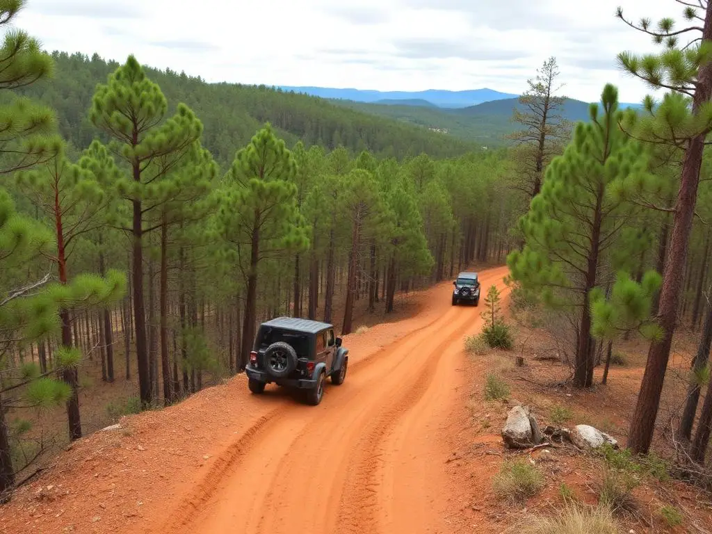
Talladega National Forest
Talladega National Forest is a moderate 80+ miles off-road trail near Heflin, AL. It requires a stock 4x4 with skid plates and all-terrain or mud-terrain tires; All-terrain tires recommended and is best run Year-round. Stock Wranglers, Broncos, and 4Runners can complete it; light modifications make it more comfortable.
Trail Conditions
No reports yet
Alabama's Talladega National Forest stretches across the southern Appalachian foothills, offering surprisingly varied terrain from gentle pine forests to the rugged Cheaha Wilderness. Red clay forest roads wind through longleaf pine restoration areas and hardwood coves, with the state's highest peak providing 360-degree views across the Piedmont.
Fun Facts
Mount Cheaha at 2,407 feet is the highest point in Alabama.
Talladega National Forest covers over 392,000 acres across four ranger districts.
The Pinhoti Trail runs 335 miles from Alabama to Georgia through the forest.
🛞 Tires
Closest campgrounds to Talladega National Forest:
- Turnipseed Campground · 3 mi
- Cheaha State Park · Delta · 9 mi
- Bows Family RV Park · Eastaboga · 14 mi
- Coleman Lake Recreation Area · Heflin · 17 mi
Where to Camp
GPS Coordinates
Import into Gaia GPS, OnX Offroad, or Garmin
Map of Heflin, AL
5-Day Forecast
WHAT YOU'LL NEED
A mild lift, all-terrain tires, and correct gear ratio will get you through this trail confidently.
Tire Size Calculator
Convert tire sizes and compare diameter differences before you swap.
Size up correctly, 33s vs 35s matters on moderate terrain.
Gear Ratio Calculator
Find the right gear ratio after lifting or upsizing tires.
Re-gear after a tire upgrade to restore trail torque and MPG.
Wheel Fitment Calculator
Calculate backspacing and offset so wider wheels clear your suspension.
Extra wheel width = extra clearance on tight lines. Check offset before buying.
MPG Calculator
Estimate fuel economy after a tire upgrade, important for remote runs.
Bigger tires cut MPG. Plan your fuel stops for this trail.