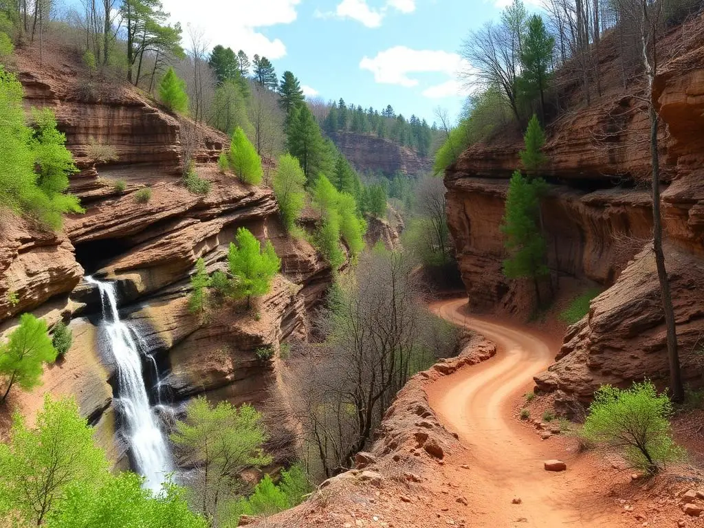
Bankhead National Forest
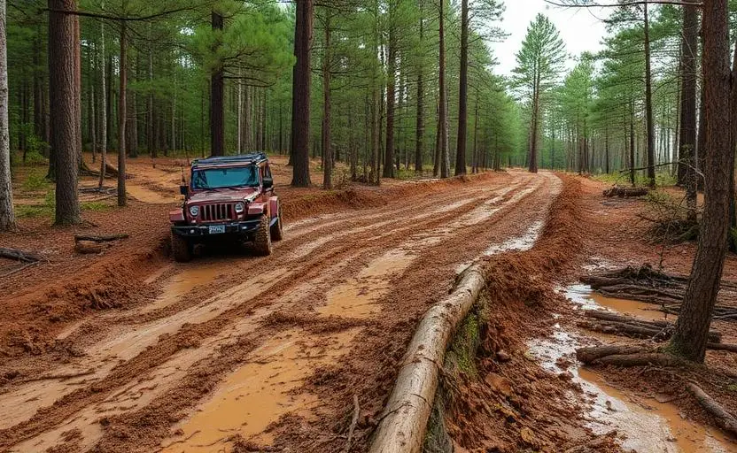
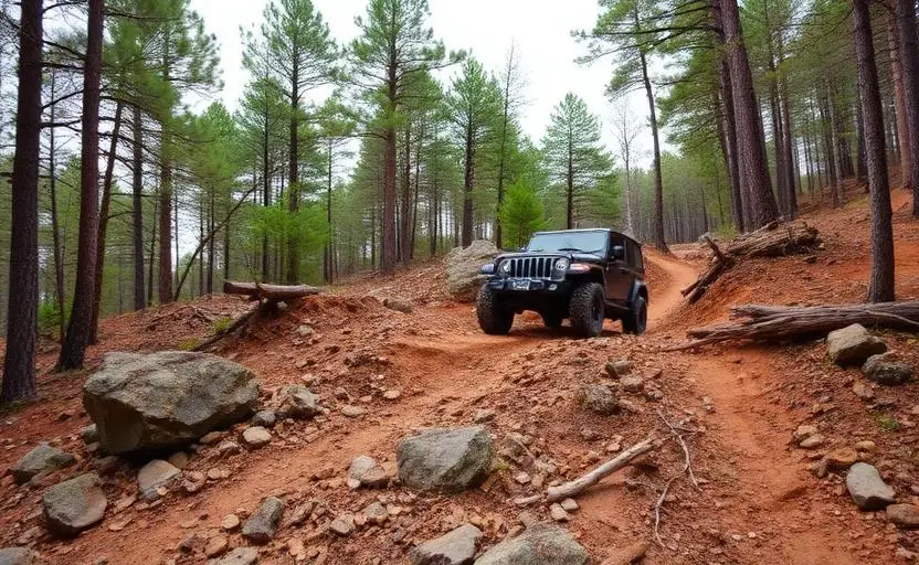
Bankhead National Forest near Double Springs, Alabama, has 80+ miles of moderate forest roads in our record, with creek crossings under sandstone bluffs. Before you go, get the current Bankhead District Motor Vehicle Use Map, which shows the roads open to vehicles. The Forest Service reissues MVUMs every year.
Trail Conditions
No reports yet
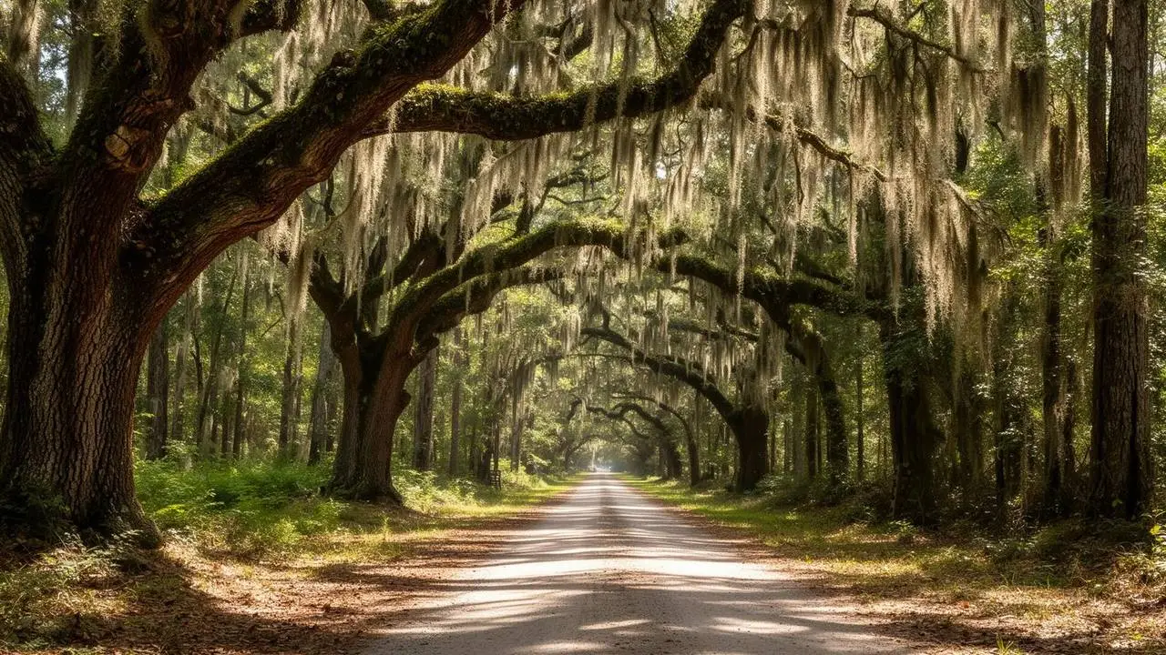
Known locally as the 'Land of a Thousand Waterfalls,' Bankhead National Forest in northwest Alabama is a hidden gem of cascading water, sandstone canyon walls, and natural bridges. The Sipsey Wilderness anchors a landscape that feels more like the Pacific Northwest than the Deep South.
Fun Facts
Bankhead National Forest contains over 200 mapped waterfalls.
Sipsey Wilderness was one of the first eastern wilderness areas designated by Congress.
The Sipsey Fork canyon is over 200 feet deep in places.
Know before you go
- The Forest Service says it is the driver's job to carry the current Motor Vehicle Use Map. The Bankhead District MVUM is a free download on the National Forests in Alabama maps page.
- Bankhead Ranger District: 1070 Highway 33, Double Springs, AL, 205-489-5111.
- Our record lists the trail as year-round. Creek crossings are part of the route, so check water levels after heavy rain.
🛞 Tires
⚙️ Drivetrain
Closest campgrounds to Bankhead National Forest:
- Brushy Lake Recreation Area · 6 mi (straight-line)
- Corinth Recreation Area · Double Springs · 7 mi (straight-line)
- Houston Bridge Picnic Area · Double Springs · 7 mi (straight-line)
- Cullman Campground · Cullman · 28 mi (straight-line)
- Clear Creek Recreation Area · Jasper · 28 mi (straight-line)
- Good Hope Campground · Cullman · 29 mi (straight-line)
Straight-line distance. Check the map for drive time.
GPS Coordinates
Import into Gaia GPS, OnX Offroad, or Garmin
Map of Double Springs, AL
5-Day Forecast
Nearby Trails
WHAT YOU'LL NEED
A mild lift, all-terrain tires, and correct gear ratio will get you through this trail confidently.
Tire Size Calculator
Convert tire sizes and compare diameter differences before you swap.
Size up correctly, 33s vs 35s matters on moderate terrain.
Gear Ratio Calculator
Find the right gear ratio after lifting or upsizing tires.
Re-gear after a tire upgrade to restore trail torque and MPG.
Wheel Fitment Calculator
Calculate backspacing and offset so wider wheels clear your suspension.
Extra wheel width = extra clearance on tight lines. Check offset before buying.
MPG Calculator
Estimate fuel economy after a tire upgrade, important for remote runs.
Bigger tires cut MPG. Plan your fuel stops for this trail.
Frequently Asked Questions
Sources: USDA Forest Service: National Forests in Alabama maps and guides. Facts checked October 11, 2026 by Abe Choe.