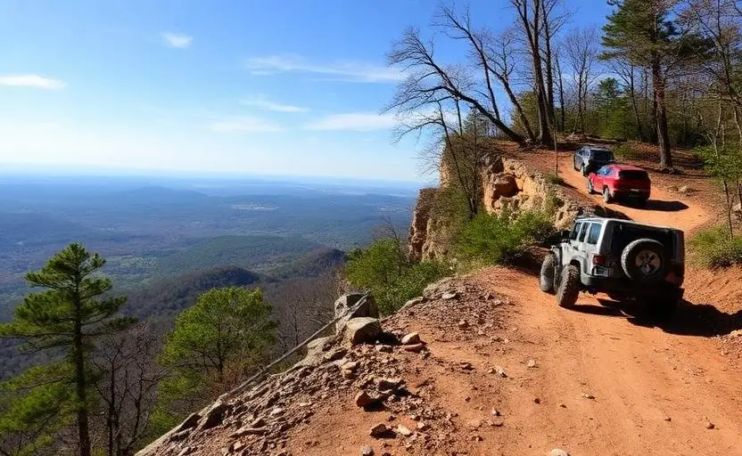
Cheaha Mountain Backcountry
Cheaha Mountain Backcountry is a moderate 40+ miles off-road trail near Delta, AL, best run Year-round. The gear list marks All-terrain tires, 4WD capability and Tow strap as required, and Skid plates as recommended. A stock high-clearance 4x4 can run it; check the gear list before you go.
Trail Conditions
No reports yet
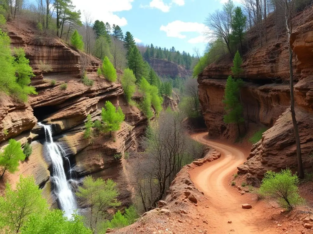
Cheaha Mountain rises above the surrounding Alabama landscape as the state's highest point, a modest 2,413 feet that nonetheless provides dramatic views across the Talladega National Forest and the surrounding piedmont. Rocky ridgeline roads climb through mixed hardwood forest to panoramic overlooks, passing through terrain that feels more like the heart of Appalachia than the Deep South. The surrounding Talladega National Forest provides an extensive network of forest roads for days of exploration.
Fun Facts
Cheaha Mountain at 2,413 feet is the highest natural point in Alabama.
The name Cheaha comes from the Choctaw word 'chaha' meaning 'high place.'
The Pinhoti Trail, Alabama's longest hiking trail, passes through the area.
Talladega National Forest surrounding Cheaha covers over 390,000 acres.
🛞 Tires
⚙️ Drivetrain
🪢 Recovery
🛡️ Protection
Closest campgrounds to Cheaha Mountain Backcountry:
- Turnipseed Campground · 3 mi (straight-line)
- Lake Chinnabee Recreation Area · 4 mi (straight-line)
- Cheaha State Park · Delta · 8 mi (straight-line)
- Bows Family RV Park · Eastaboga · 14 mi (straight-line)
- Coleman Lake Recreation Area · Heflin · 17 mi (straight-line)
- Dogwood Meadows Campground · Lincoln · 20 mi (straight-line)
Straight-line distance. Check the map for drive time.
GPS Coordinates
Import into Gaia GPS, OnX Offroad, or Garmin
Map of Delta, AL
5-Day Forecast
Nearby Trails
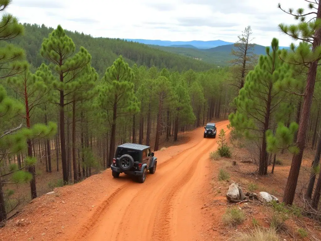
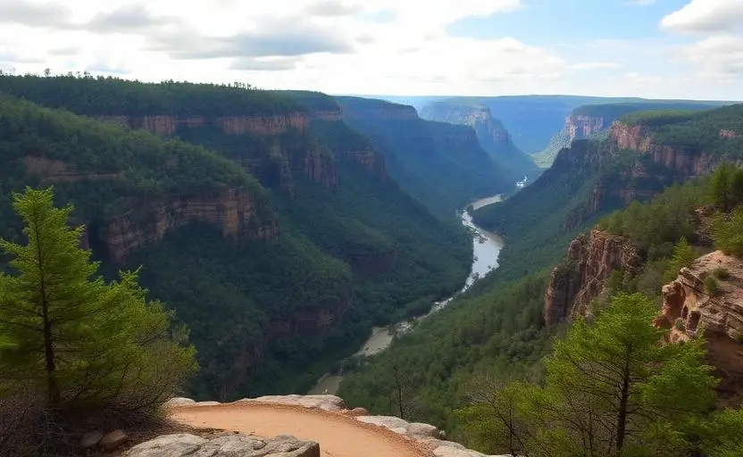
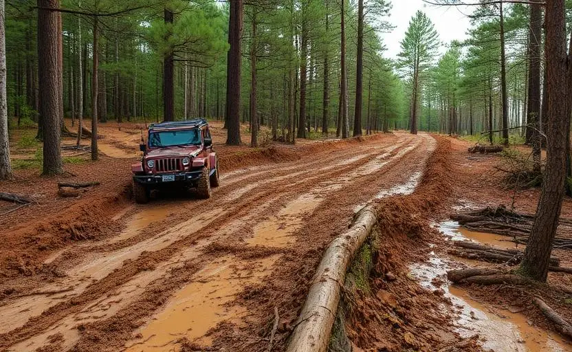
WHAT YOU'LL NEED
A mild lift, all-terrain tires, and correct gear ratio will get you through this trail confidently.
Tire Size Calculator
Convert tire sizes and compare diameter differences before you swap.
Size up correctly, 33s vs 35s matters on moderate terrain.
Gear Ratio Calculator
Find the right gear ratio after lifting or upsizing tires.
Re-gear after a tire upgrade to restore trail torque and MPG.
Wheel Fitment Calculator
Calculate backspacing and offset so wider wheels clear your suspension.
Extra wheel width = extra clearance on tight lines. Check offset before buying.
MPG Calculator
Estimate fuel economy after a tire upgrade, important for remote runs.
Bigger tires cut MPG. Plan your fuel stops for this trail.