Schnebly Hill Road
Schnebly Hill Road is a easy 12 miles off-road trail near Sedona, AZ. It requires a properly built 4x4 with All-terrain tires and is best run Year-round. Stock trucks and Jeeps are not recommended; plan on the required modifications before attempting it.
Trail Conditions
No reports yet
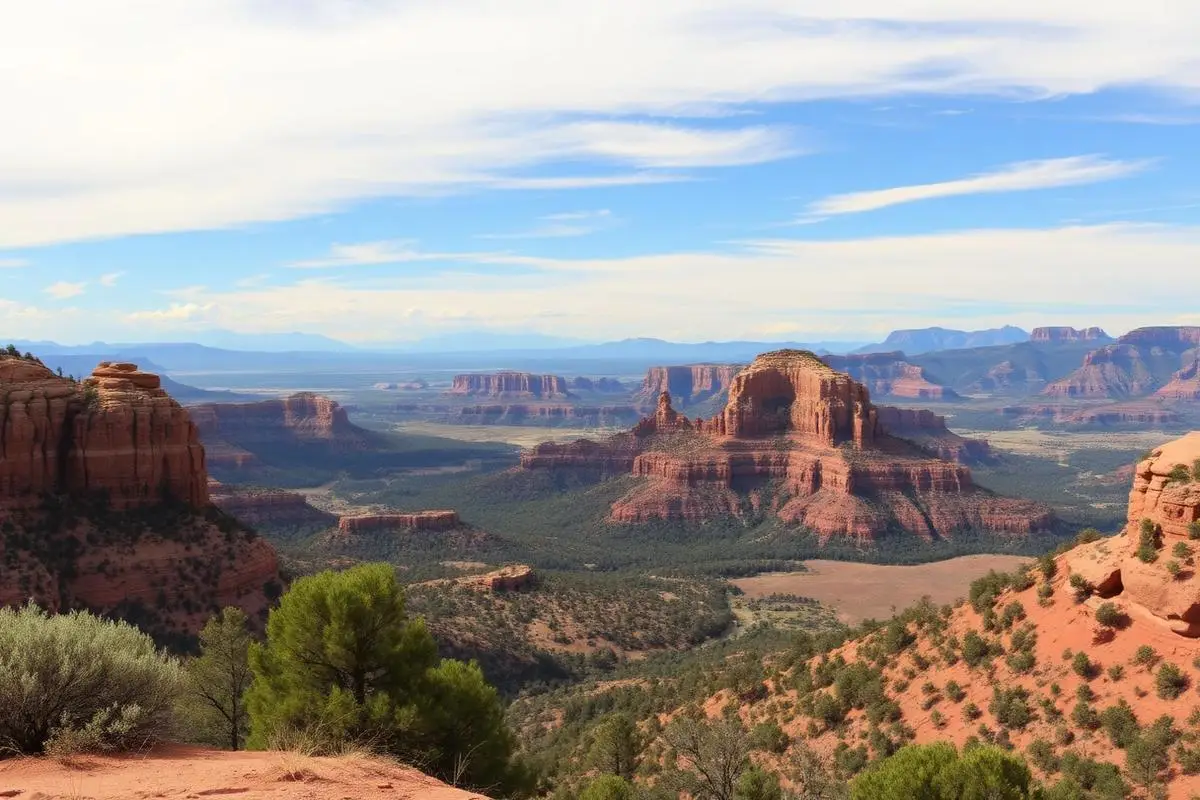
Schnebly Hill Road is the original route into Sedona, a historic wagon road now renowned as one of Arizona's most scenic drives. The 12-mile route climbs from Sedona's red rock country up to the pine-covered Mogollon Rim, offering ever-expanding views of the iconic landscape below. Multiple pull-offs provide photography opportunities, with the Schnebly Hill Vista offering perhaps the most photographed view of Sedona's red rocks. Unlike many Arizona destinations, this road is achievable for most SUVs and crossovers, making it perfect for travelers wanting adventure without extreme difficulty.
Fun Facts
The road was built in 1902 by Sedona's namesake, Sedona Schnebly, and her husband Carl.
Before the road, the only way in or out of Sedona was a treacherous path down Oak Creek Canyon.
The road climbs from 4,500 feet in Sedona to over 6,500 feet at the Mogollon Rim.
The Schnebly family originally petitioned to name the town 'Schnebly Station' but the post office rejected it as too long.
🛞 Tires
🔧 Suspension
⚙️ Drivetrain
🪢 Recovery
📦 Other
Closest campgrounds to Schnebly Hill Road:
- Sunset Bluff RV Park · Sedona · 3 mi
- Rancho Sedona RV Park · Sedona · 3 mi
- Chavez Crossing Group Campground · 4 mi
- Cave Springs Campground · 8 mi
Where to Camp
GPS Coordinates
Import into Gaia GPS, OnX Offroad, or Garmin
Map of Sedona, AZ
5-Day Forecast
WHAT YOU'LL NEED
Stock rigs can usually run this trail, but the right tire size and fitment make it more enjoyable.
Tire Size Calculator
Convert tire sizes and compare diameter differences before you swap.
Verify your stock tires meet minimum clearance for this trail.
Gear Ratio Calculator
Find the right gear ratio after lifting or upsizing tires.
Re-gear after a tire upgrade to restore trail torque and MPG.
Wheel Fitment Calculator
Calculate backspacing and offset so wider wheels clear your suspension.
Ensure any wheel upgrade clears your factory suspension.