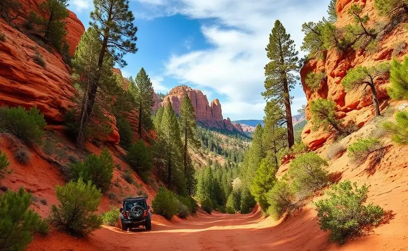
Coconino National Forest Trails
Coconino National Forest Trails is a moderate 200+ miles off-road trail near Flagstaff, AZ, best run April - November. The gear list marks All-terrain tires and 4WD capability as required, and Basic recovery kit and Skid plates as recommended. A stock high-clearance 4x4 can run it; check the gear list before you go.
Trail Conditions
No reports yet
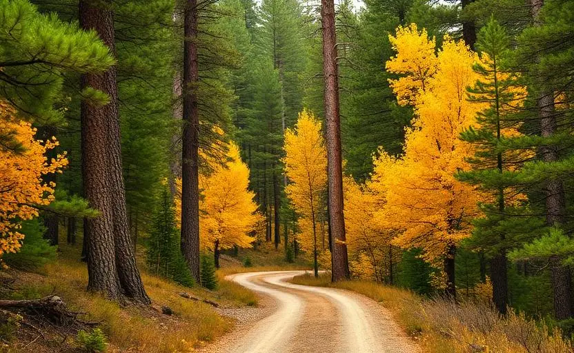
Coconino National Forest is a stunningly diverse landscape stretching from the red rock desert around Sedona to the alpine peaks near Flagstaff. The forest's extensive road network allows overlanders to traverse multiple ecological zones in a single day, from Sonoran Desert scrub through pinyon-juniper woodland into dense ponderosa pine forest and beyond to alpine tundra. Historic routes like Schnebly Hill Road and Stoneman Lake Road offer both scenic beauty and moderate technical challenge.
Fun Facts
Coconino National Forest spans 1.8 million acres, making it one of the largest national forests in the US.
The forest contains the largest contiguous ponderosa pine forest in the world.
Elevation ranges from 2,600 feet in Sedona's red rock country to 12,637 feet at Humphreys Peak.
The Sinagua people built cliff dwellings here over 800 years ago, many visible from forest roads.
🛞 Tires
🔧 Suspension
⚙️ Drivetrain
🪢 Recovery
🛡️ Protection
Closest campgrounds to Coconino National Forest Trails:
- Cave Springs Campground · 7 mi (straight-line)
- Pine Flat Campground · 7 mi (straight-line)
- Double Springs Campground · 8 mi (straight-line)
- Dairy Springs Campground · 8 mi (straight-line)
- Pinegrove Campground · 9 mi (straight-line)
- Sunset Bluff RV Park · Sedona · 12 mi (straight-line)
Straight-line distance. Check the map for drive time.
GPS Coordinates
Import into Gaia GPS, OnX Offroad, or Garmin
Map of Flagstaff, AZ
5-Day Forecast
Nearby Trails
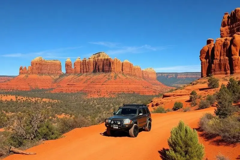
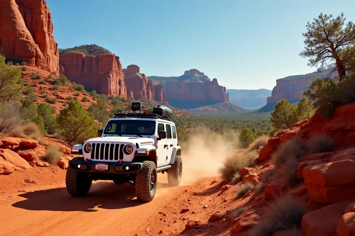
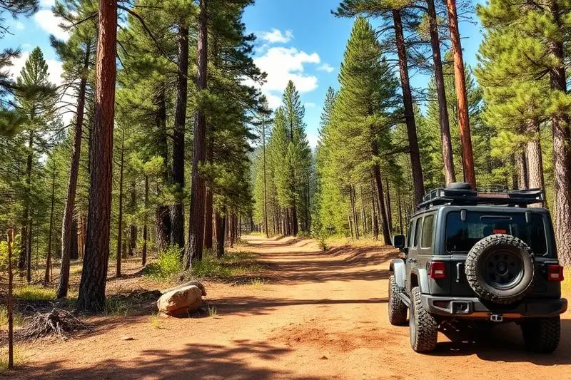
WHAT YOU'LL NEED
A mild lift, all-terrain tires, and correct gear ratio will get you through this trail confidently.
Tire Size Calculator
Convert tire sizes and compare diameter differences before you swap.
Size up correctly, 33s vs 35s matters on moderate terrain.
Gear Ratio Calculator
Find the right gear ratio after lifting or upsizing tires.
Re-gear after a tire upgrade to restore trail torque and MPG.
Wheel Fitment Calculator
Calculate backspacing and offset so wider wheels clear your suspension.
Extra wheel width = extra clearance on tight lines. Check offset before buying.
MPG Calculator
Estimate fuel economy after a tire upgrade, important for remote runs.
Bigger tires cut MPG. Plan your fuel stops for this trail.