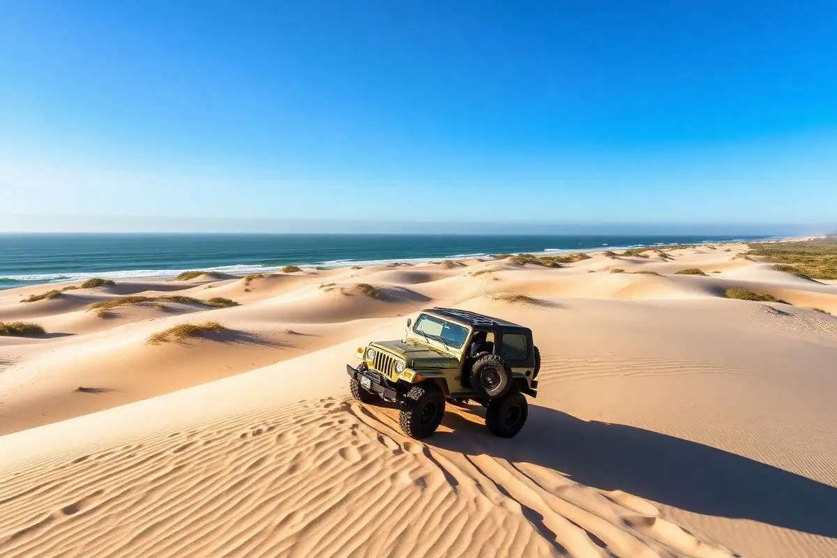
Oregon Dunes NRA
Oregon Dunes NRA is a moderate 40+ miles off-road trail near Florence, OR, best run Year-round. The gear list marks 4WD capability, Tow strap and Flag/whip as required, and Paddle or sand tires and Shovel as recommended. A stock high-clearance 4x4 can run it; check the gear list before you go.
Trail Conditions
No reports yet
The Oregon Dunes National Recreation Area covers roughly 31,500 acres and runs about 40 miles along the coast in the Siuslaw National Forest, the largest expanse of coastal sand dunes in North America. Not all of it is open to vehicles, and the riding areas are specific. Full-size 4x4s are welcome at South Jetty and at Spinreel, where the sand routes are laid out for 4x4 access, while other zones are set aside for smaller machines or for non-motorized use entirely. Two requirements are non-negotiable. A valid Oregon OHV permit is required for operating on public land, which corrects our old record's note that no permit is needed. And every vehicle must fly a whip flag: a red or orange flag at least 8 by 12 inches, mounted so it stands 9 feet above the ground. That flag is what keeps you from meeting another rig blind over a dune crest. The seasonal closure matters just as much. From March 15 through September 15 each year, beach restrictions protect nesting western snowy plovers, and all recreation is prohibited on dry sand inside the designated closure zones. Those zones are posted and they shift, so check the Siuslaw National Forest alert page for the current boundaries rather than relying on a map from a past season. Sand driving rewards momentum and punishes hesitation. Air down well below your street pressure, keep your speed up on climbs, and never crest a dune straight on at speed when you cannot see the far side. Coastal fog and blowing sand cut visibility fast. Florence, Reedsport, and North Bend all sit on Highway 101 within reach of the riding areas and have fuel, tire shops, and campgrounds, and the Spinreel area has camping right at the sand.
Fun Facts
The recreation area covers about 31,500 acres over 40 miles of coastline, the largest coastal dune expanse in North America.
Riding areas open to full-size 4x4s include South Jetty and Spinreel.
Whip flags must be red or orange, at least 8 by 12 inches, and 9 feet above the ground.
🛞 Tires
🔧 Suspension
⚙️ Drivetrain
🪢 Recovery
📦 Other
Closest campgrounds to Oregon Dunes NRA:
- Tyee Campground · 1 mi (straight-line)
- Waxmyrtle Campground · 2 mi (straight-line)
- Carter Lake · Westlake · 3 mi (straight-line)
- South Jetty Sand Camping · Florence · 5 mi (straight-line)
- Tahkenitch Landing Campground · 6 mi (straight-line)
- Tahkenitch Campground · 6 mi (straight-line)
Straight-line distance. Check the map for drive time.
GPS Coordinates
Import into Gaia GPS, OnX Offroad, or Garmin
Map of Florence, OR
5-Day Forecast
Nearby Trails
WHAT YOU'LL NEED
A mild lift, all-terrain tires, and correct gear ratio will get you through this trail confidently.
Tire Size Calculator
Convert tire sizes and compare diameter differences before you swap.
Size up correctly, 33s vs 35s matters on moderate terrain.
Gear Ratio Calculator
Find the right gear ratio after lifting or upsizing tires.
Re-gear after a tire upgrade to restore trail torque and MPG.
Wheel Fitment Calculator
Calculate backspacing and offset so wider wheels clear your suspension.
Extra wheel width = extra clearance on tight lines. Check offset before buying.
MPG Calculator
Estimate fuel economy after a tire upgrade, important for remote runs.
Bigger tires cut MPG. Plan your fuel stops for this trail.