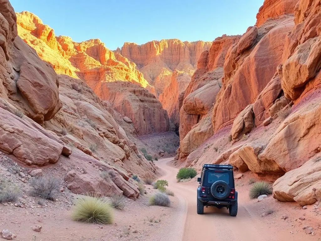
Last Chance Canyon
Last Chance Canyon is a moderate 35 miles off-road trail near Ridgecrest, CA, best run October - April. The gear list marks All-terrain tires as required, and 4WD capability as recommended. A stock high-clearance 4x4 can run it; check the gear list before you go.
Trail Conditions
No reports yet
A colorful desert canyon in the El Paso Mountains north of the Mojave with eroded badlands, 19th-century mining ruins, and Red Rock Canyon State Park's photogenic multi-colored rock layers. Spring wildflower blooms after wet winters can carpet the desert floor in color.
Fun Facts
Last Chance Canyon contains mining ruins from the 1890s gold rush.
Burro Schmidt Tunnel nearby was hand-dug by one man over 38 years.
Red Rock Canyon's colorful layers span 270 million years of geologic history.
🛞 Tires
⚙️ Drivetrain
Closest campgrounds to Last Chance Canyon:
- Red Rock Canyon State Park · Cantil · 3 mi (straight-line)
Straight-line distance. Check the map for drive time.
GPS Coordinates
Import into Gaia GPS, OnX Offroad, or Garmin
Map of Ridgecrest, CA
5-Day Forecast
Nearby Trails

WHAT YOU'LL NEED
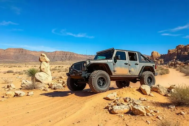
A mild lift, all-terrain tires, and correct gear ratio will get you through this trail confidently.
Tire Size Calculator
Convert tire sizes and compare diameter differences before you swap.
Size up correctly, 33s vs 35s matters on moderate terrain.
Gear Ratio Calculator
Find the right gear ratio after lifting or upsizing tires.
Re-gear after a tire upgrade to restore trail torque and MPG.
Wheel Fitment Calculator
Calculate backspacing and offset so wider wheels clear your suspension.
Extra wheel width = extra clearance on tight lines. Check offset before buying.
MPG Calculator
Estimate fuel economy after a tire upgrade, important for remote runs.
Bigger tires cut MPG. Plan your fuel stops for this trail.