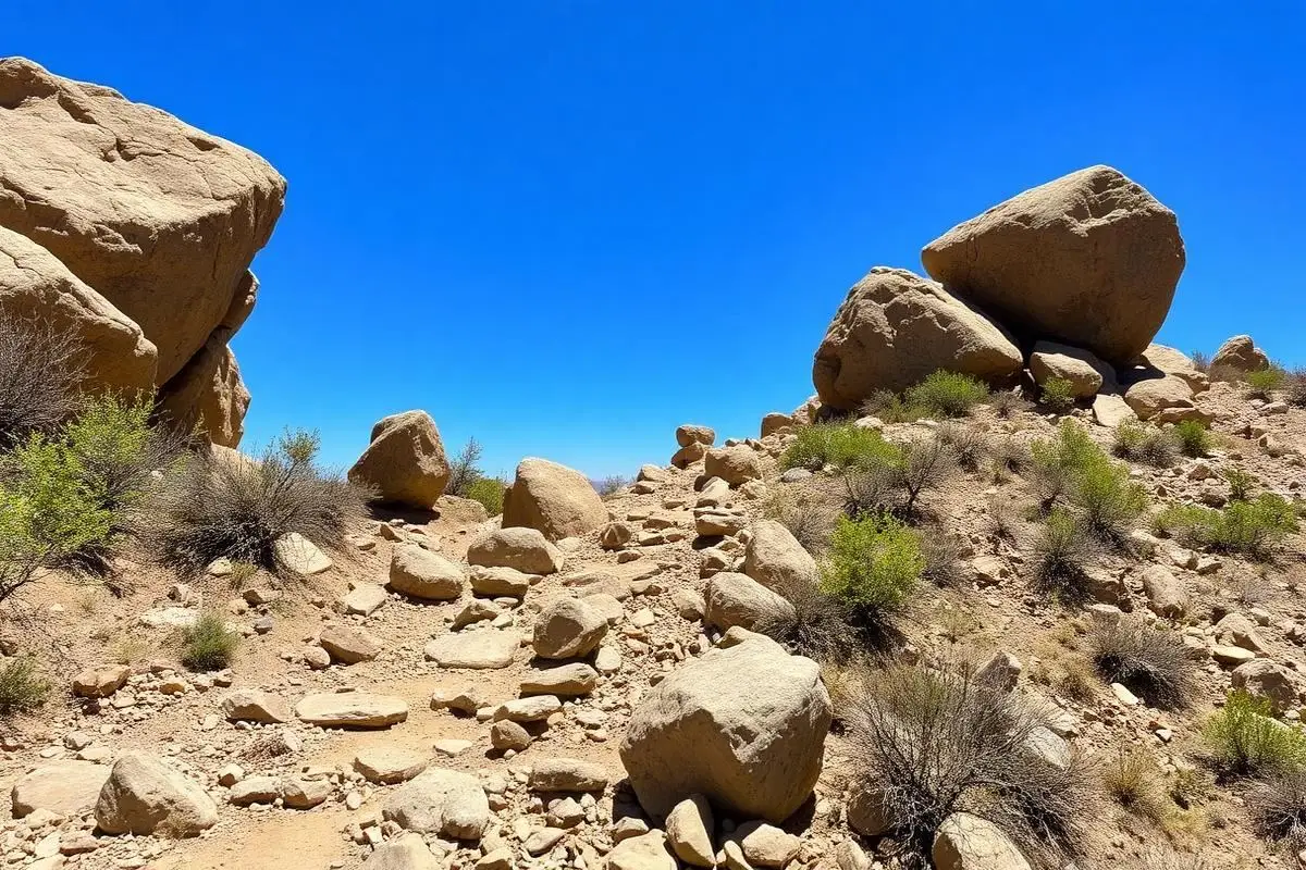
Cleghorn Ridge OHV
Cleghorn Ridge OHV Road 2N47 is a 15.2-mile Green Sticker route in the San Bernardino National Forest, from the Cleghorn off-ramp on I-15 in Cajon Pass over the ridge to Highway 138. The Forest Service rates it easy to moderately difficult. Our record calls for 4WD with low range and all-terrain or mild mud-terrain tires.
Trail Conditions
No reports yet
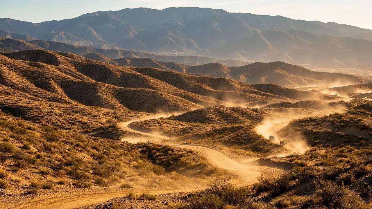
Cleghorn Ridge is a specific Forest Service route, not a general area. The San Bernardino National Forest designates it as Cleghorn Ridge OHV Road 2N47, a 15.2 mile road running between Interstate 15 and State Highway 138 under the Front Country Ranger District. It connects to Elliot Ranch OHV Road 3N22, and Pilot Rock OHV Road 2N33 is nearby, which is how people stitch together a longer day than the ridge alone provides. Our record's 30 plus miles reflects that combined network rather than 2N47 itself. The ridge climbs the front face of the San Bernardino Mountains above Silverwood Lake and Cajon Pass, with loose decomposed granite, rutted grades, and open views back across the Inland Empire that are the real reason to drive it. This is a high clearance route rather than a rock crawl, and a capable stock four-wheel drive with all-terrain tires handles it in dry conditions. Two permits matter here. A Recreation Pass, either an Adventure Pass or an Interagency Pass, is required for vehicles parked at staging areas such as the Summit Staging Area. For California OHVs, 2N47 is a designated Green Sticker route open to all OHV vehicles, with Red Sticker machines allowed during the state's Red Sticker season. Street-legal four-wheel drives do not need a sticker. The road is generally open year round, though the front country is exposed and hot from late spring through September, and nearby roads carry long-term closures from storm damage and fire recovery orders. Check the forest's road conditions page before you go, since a closure on a connector can strand you into an out-and-back. The Cajon Pass corridor has fuel and food at both ends, which makes this one of the easiest real off-road routes to reach from Los Angeles.
Fun Facts
The route is formally Cleghorn Ridge OHV Road 2N47, 15.2 miles between Interstate 15 and State Highway 138.
It connects to Elliot Ranch OHV Road 3N22, which is how most people build a longer day out of it.
2N47 is a designated Green Sticker route, open to all OHV vehicles.
Know before you go
- There are no trailer-friendly staging areas at either end, only limited parking. For trailers, use the Summit Staging Area, which requires a Recreation Pass.
- OHVs need current registration and a working spark arrester. There is no drinking water on the route.
- OHV maps are at the Lytle Creek Ranger Station. Front Country Ranger District: (909) 382-2851, open Wednesday to Sunday.
🛞 Tires
⚙️ Drivetrain
🔧 Suspension
🪢 Recovery
🛡️ Protection
Closest campgrounds to Cleghorn Ridge OHV:
- Dogwood Campground · 6 mi (straight-line)
- North Shore Family Campground · Lake Arrowhead · 8 mi (straight-line)
- Applewhite Campground · Lytle Creek · 10 mi (straight-line)
- Crab Flats Campground · 13 mi (straight-line)
- Green Valley Campground · 14 mi (straight-line)
- Hanna Flat Campground · 20 mi (straight-line)
Straight-line distance. Check the map for drive time.
GPS Coordinates
Import into Gaia GPS, OnX Offroad, or Garmin
Map of San Bernardino, CA
5-Day Forecast
Nearby Trails
WHAT YOU'LL NEED
A mild lift, all-terrain tires, and correct gear ratio will get you through this trail confidently.
Tire Size Calculator
Convert tire sizes and compare diameter differences before you swap.
Size up correctly, 33s vs 35s matters on moderate terrain.
Gear Ratio Calculator
Find the right gear ratio after lifting or upsizing tires.
Re-gear after a tire upgrade to restore trail torque and MPG.
Wheel Fitment Calculator
Calculate backspacing and offset so wider wheels clear your suspension.
Extra wheel width = extra clearance on tight lines. Check offset before buying.
MPG Calculator
Estimate fuel economy after a tire upgrade, important for remote runs.
Bigger tires cut MPG. Plan your fuel stops for this trail.
Frequently Asked Questions
Sources: USDA Forest Service: Cleghorn Ridge OHV Road 2N47. Facts checked October 11, 2026 by Abe Choe.