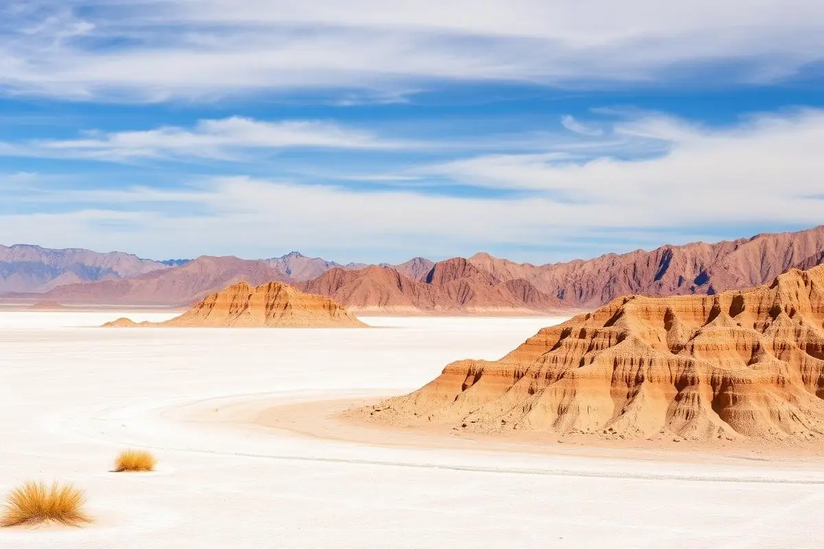
Death Valley Backcountry
Death Valley Backcountry is a moderate Various off-road trail near Death Valley, CA, best run November - March. The gear list marks 32"+ all-terrain tires, 4WD with low range, Recovery straps and Spare tire as required, and 2"+ lift kit and Satellite communicator as recommended. A stock high-clearance 4x4 can run it; check the gear list before you go.
Trail Conditions
No reports yet
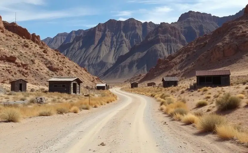
Death Valley National Park keeps hundreds of miles of unpaved backcountry roads open to visitors, and the Park Service is specific about how you may use them. Only street-legal, licensed vehicles are allowed, travel is restricted to designated roads, and off-road driving is prohibited anywhere in the park. OHVs, ATVs, and UTVs are not permitted, so this is a trip for a registered truck or SUV, not a trailered play rig. The classic routes give you a good cross section of the park: Titus Canyon Road drops one way through a narrow limestone canyon past the ghost town of Leadfield, Racetrack Road runs a long washboard grade out to the playa, and Echo Canyon rewards patient drivers with remote camps and old mine works, as does the Warm Springs to Butte Valley run. Roadside camping is allowed along dirt roads more than one mile from any paved road or day-use-only road, with the valley floor between Ashford Mill and a point two miles north of Stovepipe Wells closed to it. Several corridors, including Echo Canyon, Hole in the Wall, Cottonwood and Marble Canyons, and Greenwater Valley, require a backcountry camping permit, so our older note that no permit is needed is wrong for those routes. A park entrance fee applies. The Park Service recommends carrying two full-size spares, an air compressor, and a plug kit, and it recommends off-road tires over street tires because the sharp volcanic gravel out here shreds sidewalls. Heat is the other hazard. Summer days routinely run past 110 degrees, and a breakdown on a remote road in July is a genuine emergency rather than an inconvenience. Check the park's current conditions page before every trip, since flood damage closes individual roads for long stretches.
Fun Facts
Titus Canyon Road is one way westbound and passes the abandoned mining camp of Leadfield.
Racetrack Playa is famous for its sailing stones, rocks that leave tracks across the dry lakebed.
Death Valley protects more than three million acres, making it the largest national park in the lower 48.
🛞 Tires
🔧 Suspension
⚙️ Drivetrain
🪢 Recovery
📦 Other
Closest campgrounds to Death Valley Backcountry:
- Stovepipe Wells Campground · Stovepipe Wells · 8 mi (straight-line)
- Emigrant Campground · Death Valley · 8 mi (straight-line)
- Furnace Creek Campground · Death Valley · 12 mi (straight-line)
- Furnace Creek Campground (Death Valley National Park) · Furnace Creek · 12 mi (straight-line)
- Texas Springs Campground · Furnace Creek · 13 mi (straight-line)
- Wildrose Campground · Death Valley · 18 mi (straight-line)
Straight-line distance. Check the map for drive time.
Where to Camp
6 campgrounds within 30 miles of this trail
GPS Coordinates
Import into Gaia GPS, OnX Offroad, or Garmin
Map of Death Valley, CA
5-Day Forecast
Nearby Trails
WHAT YOU'LL NEED
A mild lift, all-terrain tires, and correct gear ratio will get you through this trail confidently.
Tire Size Calculator
Convert tire sizes and compare diameter differences before you swap.
Size up correctly, 33s vs 35s matters on moderate terrain.
Gear Ratio Calculator
Find the right gear ratio after lifting or upsizing tires.
Re-gear after a tire upgrade to restore trail torque and MPG.
Wheel Fitment Calculator
Calculate backspacing and offset so wider wheels clear your suspension.
Extra wheel width = extra clearance on tight lines. Check offset before buying.
MPG Calculator
Estimate fuel economy after a tire upgrade, important for remote runs.
Bigger tires cut MPG. Plan your fuel stops for this trail.