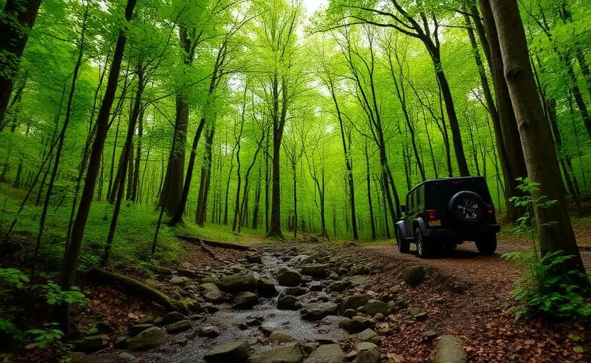
Cumberland Plateau Trails
Cumberland Plateau Trails is an easy 80+ miles off-road trail near Crossville, TN, best run Year-round. No gear is marked required; All-terrain tires, 4WD capability and Basic recovery kit are recommended. A stock high-clearance 4x4 can run it; check the gear list before you go.
Trail Conditions
No reports yet
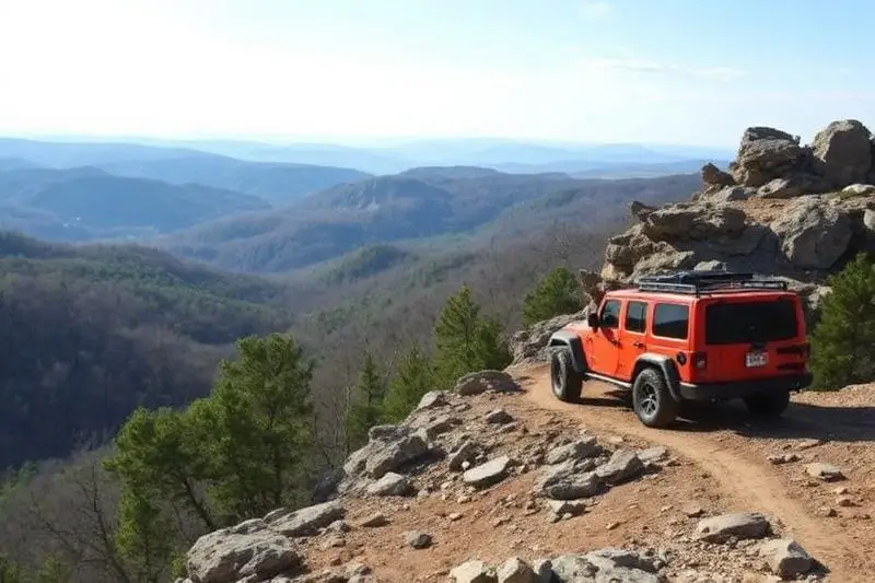
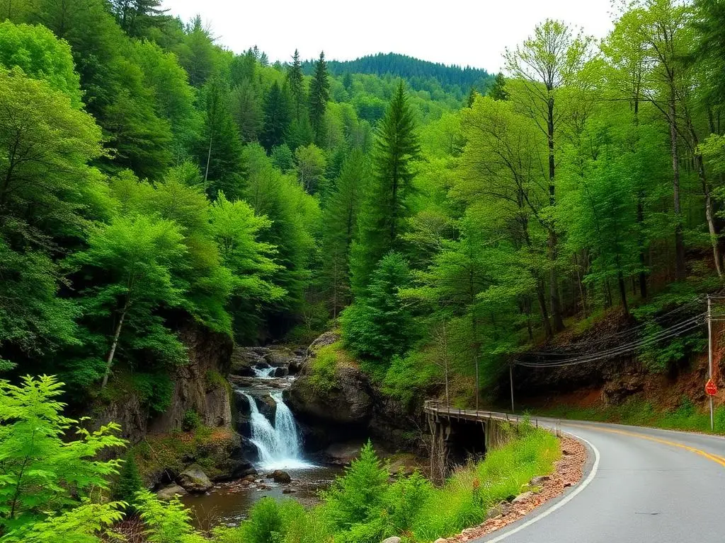
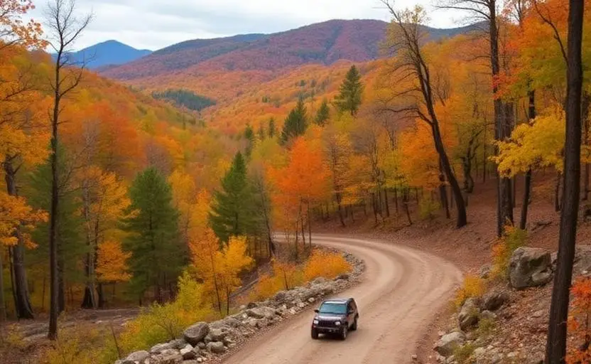
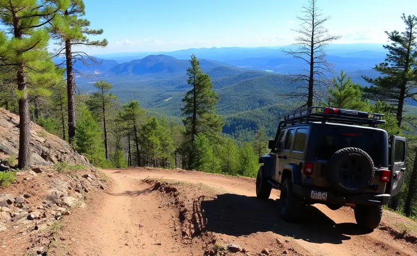
The Cumberland Plateau rises like a giant table above middle Tennessee, a vast forested upland dissected by deep sandstone gorges and creek-carved canyons. Forest roads across the plateau offer gentle overlanding through dense hardwood forest, with dramatic gorge overlooks appearing suddenly at the plateau's edge. The terrain is surprisingly easy for beginners, with most roads being well-maintained forest service or county roads, while the scenery rivals more famous destinations.
Fun Facts
The Cumberland Plateau is the largest forested plateau in North America.
Fall Creek Falls at 256 feet is the tallest waterfall east of the Rocky Mountains.
The plateau's sandstone gorges contain plant communities dating to the last ice age.
The area has more cave systems than almost anywhere in the US.
🛞 Tires
⚙️ Drivetrain
🪢 Recovery
Closest campgrounds to Cumberland Plateau Trails:
- Rock Creek Campground · Wartburg · 22 mi (straight-line)
Straight-line distance. Check the map for drive time.
GPS Coordinates
Import into Gaia GPS, OnX Offroad, or Garmin
Map of Crossville, TN
5-Day Forecast
Nearby Trails
WHAT YOU'LL NEED
Stock rigs can usually run this trail, but the right tire size and fitment make it more enjoyable.
Tire Size Calculator
Convert tire sizes and compare diameter differences before you swap.
Verify your stock tires meet minimum clearance for this trail.
Gear Ratio Calculator
Find the right gear ratio after lifting or upsizing tires.
Re-gear after a tire upgrade to restore trail torque and MPG.
Wheel Fitment Calculator
Calculate backspacing and offset so wider wheels clear your suspension.
Ensure any wheel upgrade clears your factory suspension.