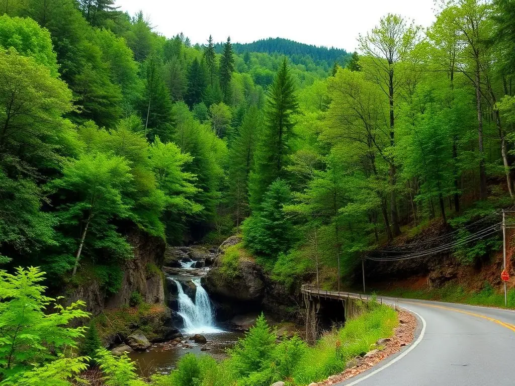
Cherokee National Forest
Cherokee National Forest is a moderate 100+ miles off-road trail near Tellico Plains, TN. It requires a properly built 4x4 with All-terrain tires and is best run April - November. Stock trucks and Jeeps are not recommended; plan on the required modifications before attempting it.
Trail Conditions
No reports yet
Tennessee's only national forest spans the western slope of the Smoky Mountains with forest roads along tumbling mountain streams, past cascading waterfalls, and through some of the most biodiverse forest in North America.
Fun Facts
Cherokee National Forest is Tennessee's only national forest at 655,000 acres.
The Cherohala Skyway rivals the Blue Ridge Parkway for mountain scenery.
Bald River Falls is a 100-foot waterfall visible from the road.
🛞 Tires
⚙️ Drivetrain
Closest campgrounds to Cherokee National Forest:
- Copper Basin Campground · Ducktown · 23 mi
- Abrams Creek Campground · Tallassee · 27 mi
- Look Rock Campground · Walland · 28 mi
- Cades Cove Campground · Townsend · 34 mi
Where to Camp
GPS Coordinates
Import into Gaia GPS, OnX Offroad, or Garmin
Map of Tellico Plains, TN
5-Day Forecast
WHAT YOU'LL NEED
A mild lift, all-terrain tires, and correct gear ratio will get you through this trail confidently.
Tire Size Calculator
Convert tire sizes and compare diameter differences before you swap.
Size up correctly, 33s vs 35s matters on moderate terrain.
Gear Ratio Calculator
Find the right gear ratio after lifting or upsizing tires.
Re-gear after a tire upgrade to restore trail torque and MPG.
Wheel Fitment Calculator
Calculate backspacing and offset so wider wheels clear your suspension.
Extra wheel width = extra clearance on tight lines. Check offset before buying.
MPG Calculator
Estimate fuel economy after a tire upgrade, important for remote runs.
Bigger tires cut MPG. Plan your fuel stops for this trail.