
Cherokee National Forest Trails
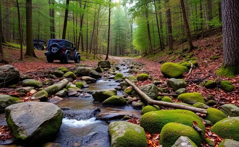
Cherokee National Forest Trails is a moderate 100+ miles off-road trail near Cleveland, TN, best run April - November. The gear list marks All-terrain tires, 4WD capability and Tow strap & shackles as required, and 2" lift kit and Skid plates as recommended. A stock high-clearance 4x4 can run it; check the gear list before you go.
Trail Conditions
No reports yet
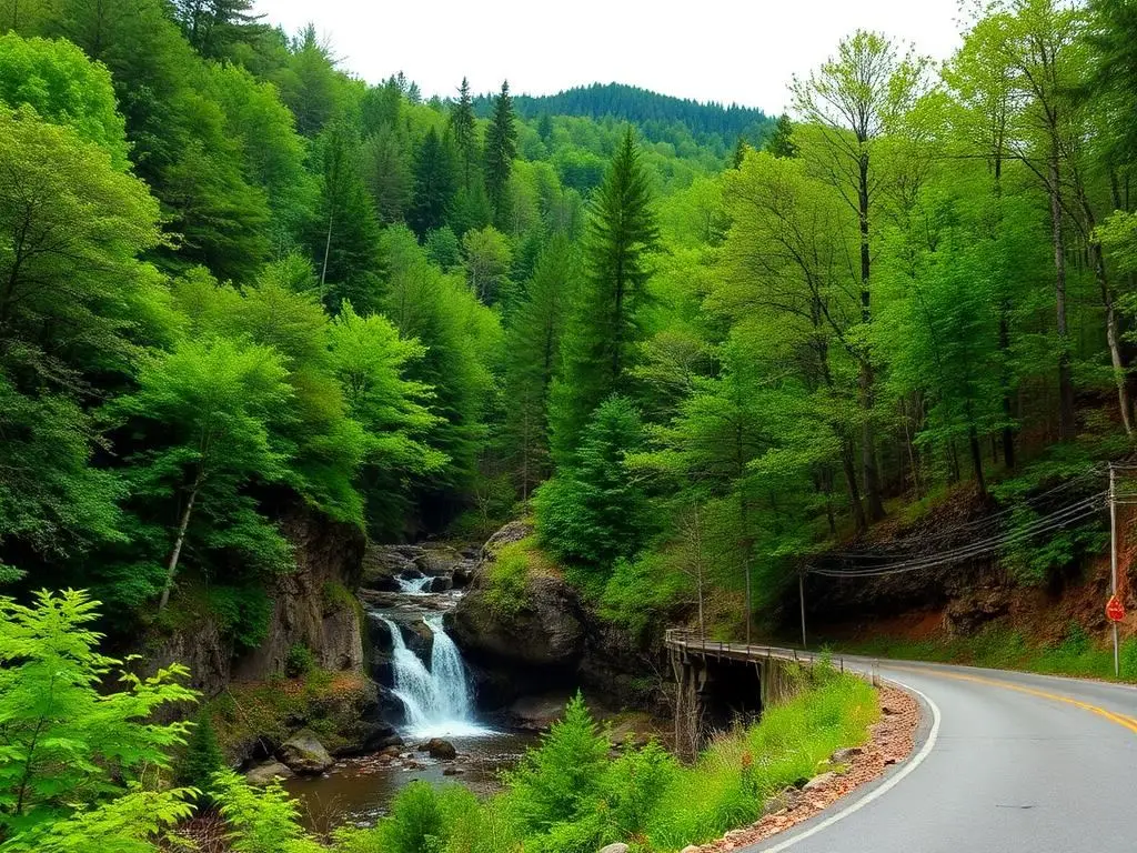
Cherokee National Forest stretches along the entire eastern border of Tennessee, flanking both sides of the Great Smoky Mountains National Park. This is a forest of extremes, from gentle riverside roads along the Hiwassee to technical mountain passes crossing the Unicoi Range. The Cherohala Skyway, while paved, serves as a gateway to dozens of forest roads that penetrate deep into the Appalachian wilderness. Fall color season transforms the forest into one of the most spectacular displays in the eastern US, with peak color typically moving from the ridgetops down through October.
Fun Facts
Cherokee National Forest is the only national forest in Tennessee, covering 650,000 acres.
The Ocoee River section hosted the 1996 Olympic whitewater slalom competitions.
The forest contains some of the most biodiverse temperate forests in the world.
Roan Mountain on the forest's border has the world's longest stretch of natural rhododendron gardens.
🛞 Tires
🔧 Suspension
⚙️ Drivetrain
🪢 Recovery
🛡️ Protection
Closest campgrounds to Cherokee National Forest Trails:
- Copper Basin Campground · Ducktown · 14 mi (straight-line)
- Cottonwood Patch Campground · Crandall · 23 mi (straight-line)
- Morganton Point Campground · Morgantown · 25 mi (straight-line)
- Jacks River Fields Campground · Epworth · 27 mi (straight-line)
- Hickey Gap Campground · 29 mi (straight-line)
Straight-line distance. Check the map for drive time.
GPS Coordinates
Import into Gaia GPS, OnX Offroad, or Garmin
Map of Cleveland, TN
5-Day Forecast
Nearby Trails


WHAT YOU'LL NEED
A mild lift, all-terrain tires, and correct gear ratio will get you through this trail confidently.
Tire Size Calculator
Convert tire sizes and compare diameter differences before you swap.
Size up correctly, 33s vs 35s matters on moderate terrain.
Gear Ratio Calculator
Find the right gear ratio after lifting or upsizing tires.
Re-gear after a tire upgrade to restore trail torque and MPG.
Wheel Fitment Calculator
Calculate backspacing and offset so wider wheels clear your suspension.
Extra wheel width = extra clearance on tight lines. Check offset before buying.
MPG Calculator
Estimate fuel economy after a tire upgrade, important for remote runs.
Bigger tires cut MPG. Plan your fuel stops for this trail.