
Vermilion Cliffs Backcountry
Vermilion Cliffs Backcountry is a hard 60+ miles off-road trail near Marble Canyon, AZ, best run March - May, Sept - Nov. The gear list marks 33"+ all-terrain tires, 3" lift kit, 4WD with low range and Recovery boards as required, and Winch as recommended. Stock trucks and Jeeps are not recommended without the required build parts.
Trail Conditions
No reports yet
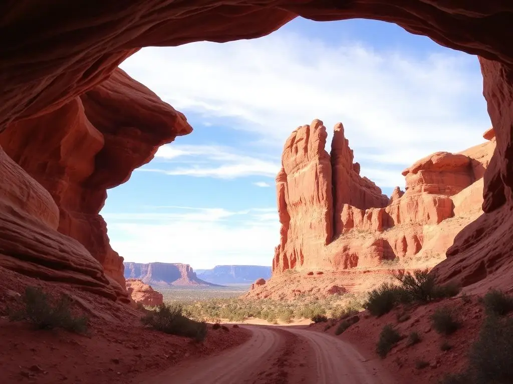
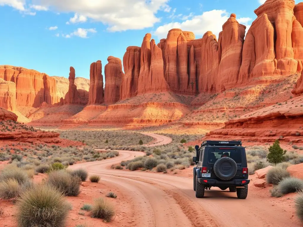
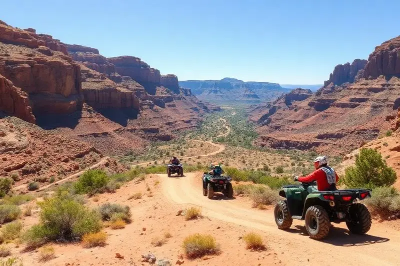
Vermilion Cliffs National Monument protects 280,000 acres of the most surreal geology on Earth. While The Wave gets all the attention, the monument contains thousands of equally spectacular formations accessible by rough BLM roads. Striped sandstone walls in every shade of red, orange, and white stretch to the horizon. Slot canyons hide in unexpected washes. Massive balanced rocks defy gravity. The roads themselves are an adventure, crossing sandy washes and rocky terrain through landscape so alien it was used as a Mars analog by NASA researchers.
Fun Facts
The Wave, located within the monument, is a sandstone formation that took 190 million years to create.
Only 64 permits per day are issued for the Coyote Buttes North area containing The Wave.
California condors were reintroduced here in 1996 and can occasionally be spotted soaring above the cliffs.
The sandstone layers visible in the cliffs record 200 million years of Earth's history.
🛞 Tires
🔧 Suspension
⚙️ Drivetrain
🪢 Recovery
🛡️ Protection
📦 Other
Closest campgrounds to Vermilion Cliffs Backcountry:
- Lees Ferry Campground · Marble Canyon · 8 mi (straight-line)
- Colorado River Primitive Camping Between Glen Canyon Dam and Lees Ferry · Page · 9 mi (straight-line)
- Beehives Primitive Campground · Page · 16 mi (straight-line)
- Page Lake Powell Campground & RV Park · Page · 17 mi (straight-line)
- Lone Rock Beach Primitive Camping Area · Greenehaven · 18 mi (straight-line)
- Wahweap Campground & RV Park · Page · 19 mi (straight-line)
Straight-line distance. Check the map for drive time.
Where to Camp
6 campgrounds within 30 miles of this trail
GPS Coordinates
Import into Gaia GPS, OnX Offroad, or Garmin
Map of Marble Canyon, AZ
5-Day Forecast
Nearby Trails

WHAT YOU'LL NEED
This trail rewards preparation. Run these tools before you load up, the numbers matter.
Tire Size Calculator
Convert tire sizes and compare diameter differences before you swap.
Running 35s or 37s? Confirm fitment and sidewall height before you go.
Gear Ratio Calculator
Find the right gear ratio after lifting or upsizing tires.
Low-range crawl ratio is everything on technical terrain, calculate yours first.
Wheel Fitment Calculator
Calculate backspacing and offset so wider wheels clear your suspension.
Extra wheel width = extra clearance on tight lines. Check offset before buying.
MPG Calculator
Estimate fuel economy after a tire upgrade, important for remote runs.
Bigger tires cut MPG. Plan your fuel stops for this trail.
Trail Matchmaker
Not sure this trail matches your rig's current build? Find out fast.
Answer 6 questions and confirm Vermilion Cliffs Backcountry is right for your setup, or find a better match.