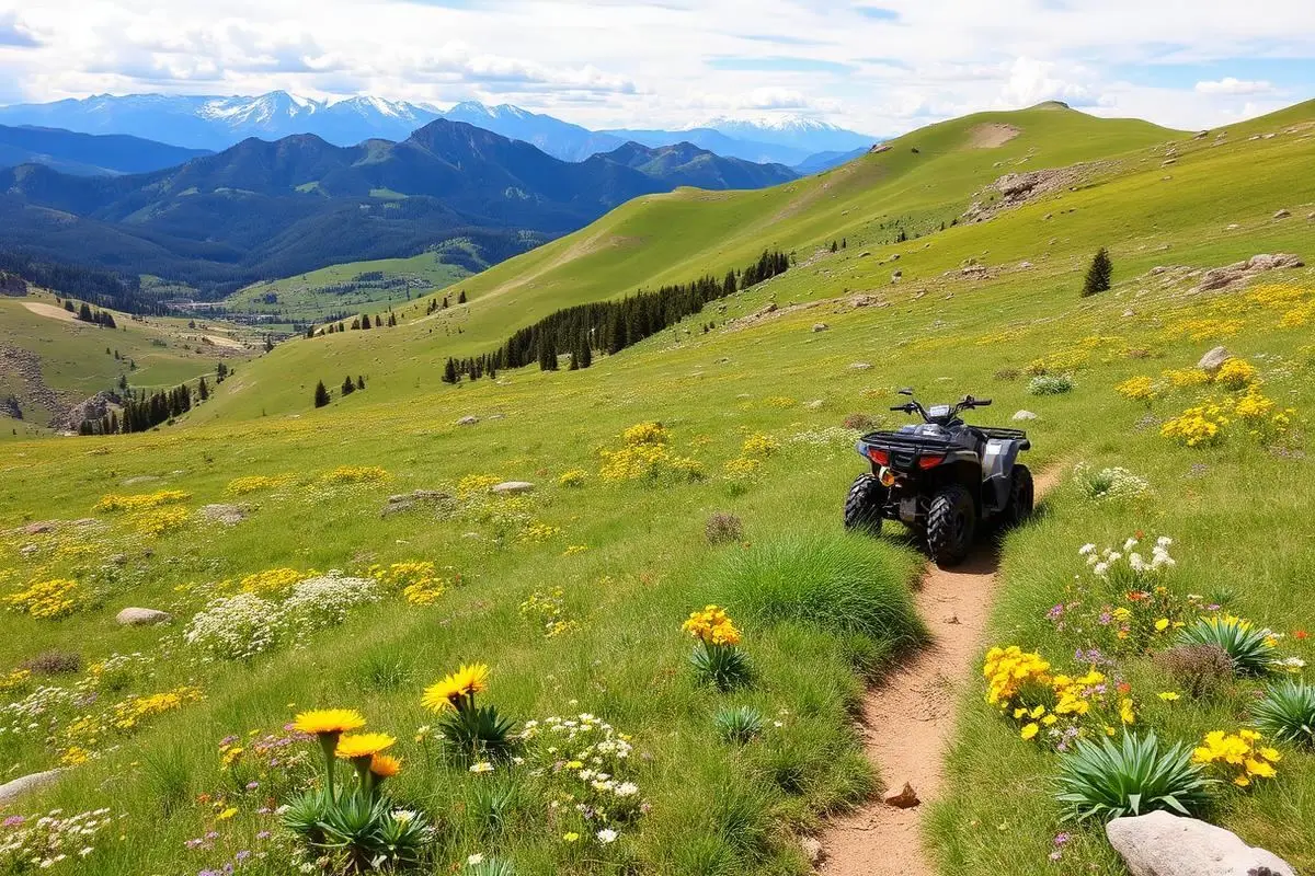
Paiute ATV Trail
Paiute ATV Trail is an easy 275 miles off-road trail near Marysvale, UT, best run May - October. The gear list marks All-terrain tires and GPS/maps as required, and 4WD or AWD and Basic recovery kit as recommended. A stock high-clearance 4x4 can run it; check the gear list before you go.
Trail Conditions
No reports yet
The Paiute ATV Trail is a signed loop system in central Utah managed jointly by the Fishlake National Forest and the BLM Richfield Field Office. The BLM describes a main loop of roughly 275 miles with a much larger network of connecting side trails branching off it, climbing from the valley floor near Marysvale into aspen and spruce country above 10,000 feet. Most of the main #01 loop follows forest roads and wide two-track that full-size trucks and Jeeps can legally run, and segments such as FS01A carry no width restriction. That is not true of the whole system. Several side trails and narrow two-track segments are posted at a 50 inch maximum width, and a 50 inch limit begins where the Max Reid trail meets the southern end of the loop. Read the trail signs and the current Fishlake travel map before you commit a full-size rig to a spur, because turning around on these shelf sections is rarely an option. Every off-highway vehicle using the system must be registered and display a valid Utah OHV permit or sticker. Utah's street-legal OHV rules also let properly equipped and licensed machines run pavement, and several towns along the route allow OHV travel on city streets, which is why Marysvale, Circleville, and Richfield work so well as fuel and lodging stops. Season is driven by elevation. Lower segments usually dry out and open in April, while the high country above the Tushar Mountains can stay snowbound into mid-July. Afternoon thunderstorms are routine in July and August, and the clay sections turn greasy fast. Carry recovery gear, a paper map, and more fuel than you think you need. Services between trailheads are thin, and cell coverage drops out for long stretches once you leave the valley.
Fun Facts
The BLM Richfield Field Office lists the main Paiute loop at about 275 miles, with more than 2,000 miles of connecting side trails.
Several towns along the route allow street-legal OHV travel on city streets, so you can fuel up without trailering.
The loop climbs from high desert valley floor to alpine terrain in the Tushar Mountains, one of Utah's highest ranges.
🛞 Tires
🔧 Suspension
⚙️ Drivetrain
🪢 Recovery
📦 Other
Closest campgrounds to Paiute ATV Trail:
- City Creek Campground · 13 mi (straight-line)
- LeBaron Campground · Beaver · 18 mi (straight-line)
- Mahogany Cove Campground · 19 mi (straight-line)
- Little Reservoir Campground · 19 mi (straight-line)
- Kents Lake Campground · Beaver · 19 mi (straight-line)
- Anderson Meadow Campground · 20 mi (straight-line)
Straight-line distance. Check the map for drive time.
GPS Coordinates
Import into Gaia GPS, OnX Offroad, or Garmin
Map of Marysvale, UT
5-Day Forecast
Nearby Trails

WHAT YOU'LL NEED
Stock rigs can usually run this trail, but the right tire size and fitment make it more enjoyable.
Tire Size Calculator
Convert tire sizes and compare diameter differences before you swap.
Verify your stock tires meet minimum clearance for this trail.
Gear Ratio Calculator
Find the right gear ratio after lifting or upsizing tires.
Re-gear after a tire upgrade to restore trail torque and MPG.
Wheel Fitment Calculator
Calculate backspacing and offset so wider wheels clear your suspension.
Ensure any wheel upgrade clears your factory suspension.