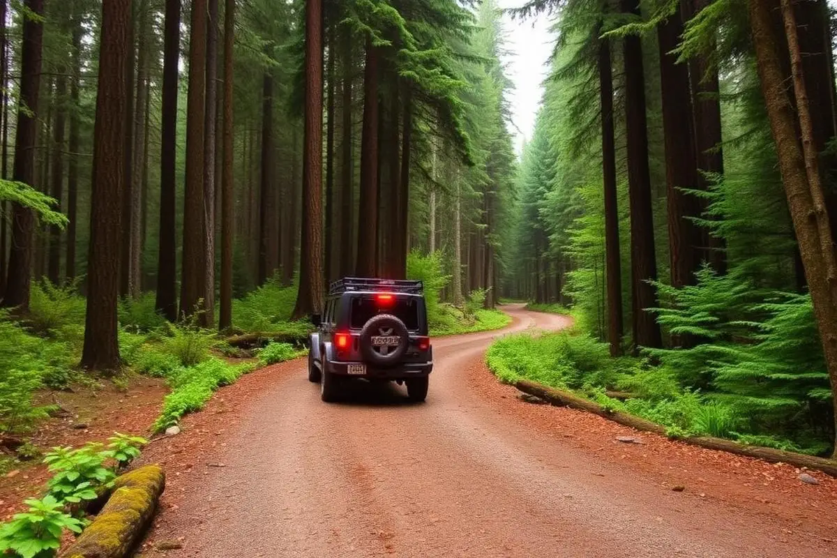
Tahuya State Forest
Tahuya State Forest covers 23,000 acres near Belfair, Washington, and the DNR lists about 84 miles of trails. Full-size 4x4s belong on the routes marked with purple diamonds, including the 7-mile obstacle trail from the Kammenga 4x4 Trailhead. Bring a Discover Pass for parking.
Trail Conditions
No reports yet
Tahuya State Forest sits on the Kitsap Peninsula near Belfair and is managed by the Washington Department of Natural Resources, which lists 84 miles of trail in the forest rather than the 100 plus our record carried. The riding is classic western Washington: second-growth Douglas fir, salal thickets, bog crossings, and glacial sand that drains well enough to keep the forest rideable through most of the year. Not all of it is open to full-size vehicles. DNR designates specific 4x4 trails, including the Tahuya River Trail, while a large share of the network is limited to 48 or 50 inch widths and is intended for quads and motorcycles. Read the trail map and the posted signs at each junction, because the width designation changes from trail to trail rather than by area. Elfendahl Pass and Mission Creek are the main staging areas and the usual places to unload. Two things are required before you turn a wheel. A Discover Pass covers vehicle parking on DNR land, and every motorized machine on the trails needs valid ORV metal tabs. Rangers check both. Trails are generally open year round, but individual sections close for active timber harvest or storm damage, and the network has lost crossings to washouts before, so check the DNR page for current closures rather than assuming last year's route still connects. Winter and spring riding is wet, muddy, and hard on the trail surface; the forest holds up better than most in the region but the mud season is real. Belfair has fuel, groceries, and tire shops, and Seattle and Tacoma are both close enough for a day trip, which is exactly why this forest gets busy on summer weekends. Go early, stay on the designated trails, and do not widen the mud holes.
Fun Facts
Washington DNR lists 84 miles of trail at Tahuya, not the 100 plus figure often repeated.
Only designated 4x4 trails such as the Tahuya River Trail are open to full-size rigs. Much of the network is capped at 48 or 50 inches.
Elfendahl Pass and Mission Creek are the main staging areas.
Know before you go
- Trail markers: white diamonds are single-track, yellow are two-track, and purple are 4x4 trails. Stay on designated trails.
- Staging: Elfendahl Pass has about 50 day-use stalls and fits trailers up to 35 feet. The Kammenga 4x4 Trailhead has trailer parking and leads into the 4x4 and ORV trails.
- Camping: dispersed camping is not allowed. Designated campsites are first come, first served with a Discover Pass, with a limit of 5 nights in a row and 15 nights a year. Campfires go only in approved fire pits in designated campgrounds.
🛞 Tires
🔧 Suspension
⚙️ Drivetrain
🪢 Recovery
📦 Other
Closest campgrounds to Tahuya State Forest:
- Potlatch State Park · Skokomish Nation · 13 mi (straight-line)
- Penrose Point State Park · Lakebay · 14 mi (straight-line)
- Big Creek Campground · 16 mi (straight-line)
- Manchester State Park · Port Orchard · 19 mi (straight-line)
- Brown Creek Campground · 20 mi (straight-line)
- Lebar Horse Camp · 20 mi (straight-line)
Straight-line distance. Check the map for drive time.
GPS Coordinates
Import into Gaia GPS, OnX Offroad, or Garmin
Map of Belfair, WA
5-Day Forecast
Nearby Trails
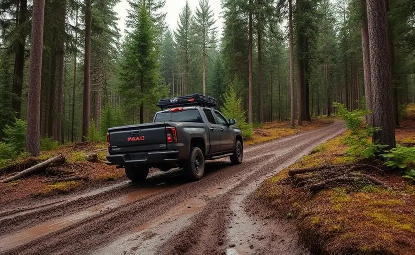
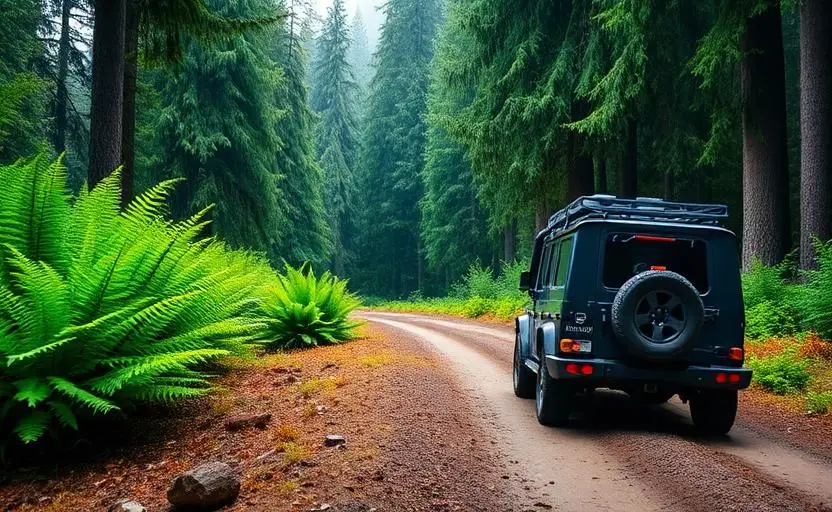
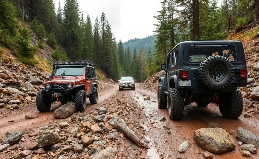
WHAT YOU'LL NEED
Stock rigs can usually run this trail, but the right tire size and fitment make it more enjoyable.
Tire Size Calculator
Convert tire sizes and compare diameter differences before you swap.
Verify your stock tires meet minimum clearance for this trail.
Gear Ratio Calculator
Find the right gear ratio after lifting or upsizing tires.
Re-gear after a tire upgrade to restore trail torque and MPG.
Wheel Fitment Calculator
Calculate backspacing and offset so wider wheels clear your suspension.
Ensure any wheel upgrade clears your factory suspension.
Frequently Asked Questions
Sources: Washington DNR: Green Mountain and Tahuya State Forest. Facts checked October 11, 2026 by Abe Choe.