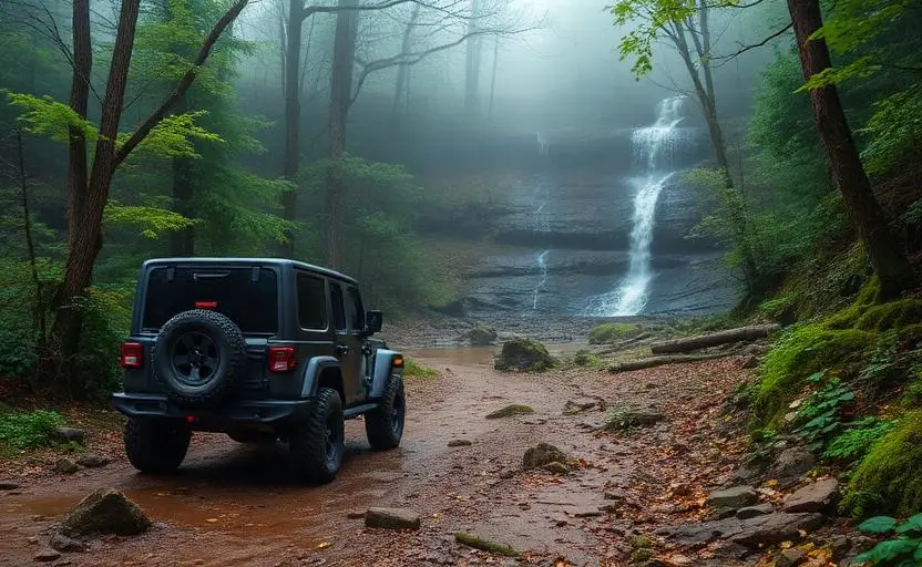
Nantahala National Forest
Nantahala National Forest is a hard 80+ miles off-road trail near Franklin, NC, best run April - November. The gear list marks 33"+ all-terrain tires, 4WD with low range, Tow strap & shackles and Skid plates as required, and 2-3" lift kit and Winch as recommended. Stock trucks and Jeeps are not recommended without the required build parts.
Trail Conditions
No reports yet
Nantahala National Forest encompasses the wildest and most remote mountains in North Carolina, where deep gorges carve through ancient metamorphic rock and cascading waterfalls plunge hundreds of feet through virgin timber. The Cherokee people's name for this land, 'Land of the Noonday Sun', perfectly describes gorges so deep and narrow that direct sunlight only reaches the bottom at midday. Forest roads range from gentle riverside routes to technical mountain passes, with some of the most challenging off-road driving in the Southeast.
Fun Facts
Nantahala means 'Land of the Noonday Sun' in Cherokee, the gorges are so deep only midday sun reaches the bottom.
The forest is the largest in North Carolina at over 530,000 acres.
The Appalachian Trail passes through the forest for over 60 miles.
Joyce Kilmer Memorial Forest contains 400-year-old tulip poplars that are among the oldest hardwoods in the East.
🛞 Tires
🔧 Suspension
⚙️ Drivetrain
🪢 Recovery
🛡️ Protection
Closest campgrounds to Nantahala National Forest:
- Deep Creek Campground · Bryson City · 19 mi (straight-line)
- Whitewater Falls Campground · Sapphire · 24 mi (straight-line)
- Whitewater Falls Camp · Cashiers · 24 mi (straight-line)
- Jackrabbit Mountain · Hayesville · 25 mi (straight-line)
- Smokemont Campground (Great Smoky Mountains National Park) · 26 mi (straight-line)
- Smokemont Campground · Cherokee · 26 mi (straight-line)
Straight-line distance. Check the map for drive time.
Where to Camp
6 campgrounds within 30 miles of this trail
GPS Coordinates
Import into Gaia GPS, OnX Offroad, or Garmin
Map of Franklin, NC
5-Day Forecast
Nearby Trails

WHAT YOU'LL NEED
This trail rewards preparation. Run these tools before you load up, the numbers matter.
Tire Size Calculator
Convert tire sizes and compare diameter differences before you swap.
Running 35s or 37s? Confirm fitment and sidewall height before you go.
Gear Ratio Calculator
Find the right gear ratio after lifting or upsizing tires.
Low-range crawl ratio is everything on technical terrain, calculate yours first.
Wheel Fitment Calculator
Calculate backspacing and offset so wider wheels clear your suspension.
Extra wheel width = extra clearance on tight lines. Check offset before buying.
MPG Calculator
Estimate fuel economy after a tire upgrade, important for remote runs.
Bigger tires cut MPG. Plan your fuel stops for this trail.
Trail Matchmaker
Not sure this trail matches your rig's current build? Find out fast.
Answer 6 questions and confirm Nantahala National Forest is right for your setup, or find a better match.