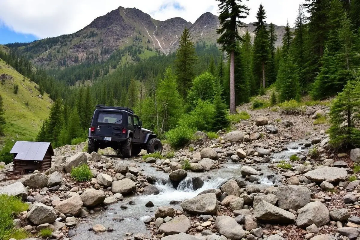
Naches Wagon Trail
Naches Wagon Trail is a hard 5.7 miles off-road trail near Naches, WA, best run July - October. The gear list marks 33"+ all-terrain tires, 4WD with low range, Recovery straps and Skid plates as required, and 3"+ lift kit and Rear locker as recommended. Stock trucks and Jeeps are not recommended without the required build parts.
Trail Conditions
No reports yet
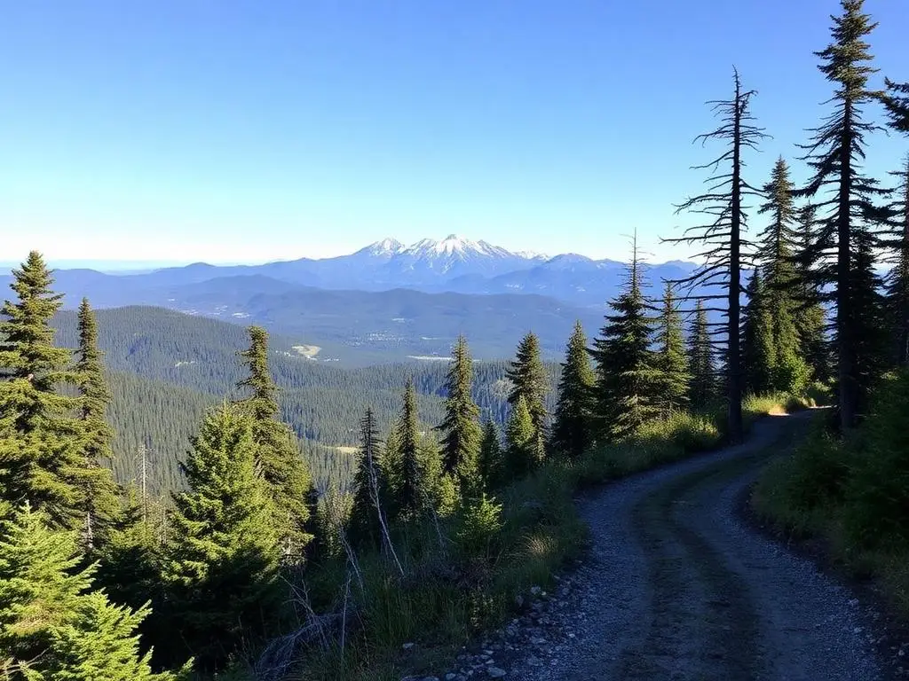
The Naches Wagon Trail crosses the Cascade crest at Naches Pass on the boundary between the Okanogan-Wenatchee and Mt. Baker-Snoqualmie National Forests. The route is made up of two Forest Service trails: Trail 1175 on the west half and Trail 684, often called the Naches Pass Jeep Trail, on the east half, meeting near Forest Road 7030. Our record listed 35 miles, which overstates it. Trail 1175 is roughly 5.7 miles one way, and the combined historic crossing is considerably shorter than 35 miles, though the forest road approaches on either end add real driving time. The history is what sets it apart. The route follows the 1853 crossing of the Longmire wagon train, the first party of immigrants to bring wagons over the Cascades to Puget Sound, and the most notorious section is the steep descent where the settlers lowered wagons on ropes. You still drive that pitch. Government Meadows and the Camp Urich cabin sit near the crest and make a natural stopping point. The trail is rated hard and earns it, with off-camber sidehills, roots, and a long steep grade that is much worse when wet. The west half is officially open to wheeled vehicles from July 15 to November 15 and is closed the rest of the year, so the window is short. Travel now runs in both directions rather than only east to west as the wagons went. A Northwest Forest Pass is required for parking at the trailheads. Run this one with at least one other vehicle, recovery gear, and a plan for getting turned around if you meet an oncoming rig on a narrow section. Enumclaw on the west side and Naches on the east are the nearest towns with fuel and services.
Fun Facts
The route follows the 1853 Longmire wagon train crossing, the first immigrant wagons over the Cascades to Puget Sound.
Settlers lowered their wagons down the steep descent on ropes. That grade is still part of the drive.
The trail is two Forest Service segments, Trail 1175 on the west and Trail 684 on the east, meeting near Forest Road 7030.
🛞 Tires
🔧 Suspension
⚙️ Drivetrain
🪢 Recovery
🛡️ Protection
Closest campgrounds to Naches Wagon Trail:
- Sawmill Flat Campground · Naches · 3 mi (straight-line)
- Cedar Springs Campground · Naches · 3 mi (straight-line)
- Indian Flat Group Site · Naches · 3 mi (straight-line)
- Little Naches Campground · 4 mi (straight-line)
- Soda Springs Campground · 4 mi (straight-line)
- Pine Needle Group Campground · 5 mi (straight-line)
Straight-line distance. Check the map for drive time.
GPS Coordinates
Import into Gaia GPS, OnX Offroad, or Garmin
Map of Naches, WA
5-Day Forecast
Nearby Trails


WHAT YOU'LL NEED
This trail rewards preparation. Run these tools before you load up, the numbers matter.
Tire Size Calculator
Convert tire sizes and compare diameter differences before you swap.
Running 35s or 37s? Confirm fitment and sidewall height before you go.
Gear Ratio Calculator
Find the right gear ratio after lifting or upsizing tires.
Low-range crawl ratio is everything on technical terrain, calculate yours first.
Wheel Fitment Calculator
Calculate backspacing and offset so wider wheels clear your suspension.
Extra wheel width = extra clearance on tight lines. Check offset before buying.
MPG Calculator
Estimate fuel economy after a tire upgrade, important for remote runs.
Bigger tires cut MPG. Plan your fuel stops for this trail.
Trail Matchmaker
Not sure this trail matches your rig's current build? Find out fast.
Answer 6 questions and confirm Naches Wagon Trail is right for your setup, or find a better match.