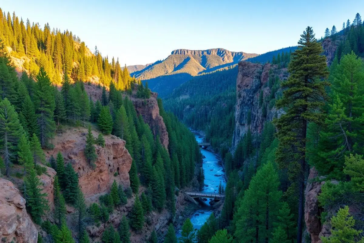
Jemez Mountain Trail
Jemez Mountain Trail is an easy Various off-road trail near Jemez Springs, NM, best run May - October. No gear is marked required; All-terrain tires, 4WD or AWD and Basic recovery kit are recommended. A stock high-clearance 4x4 can run it; check the gear list before you go.
Trail Conditions
No reports yet
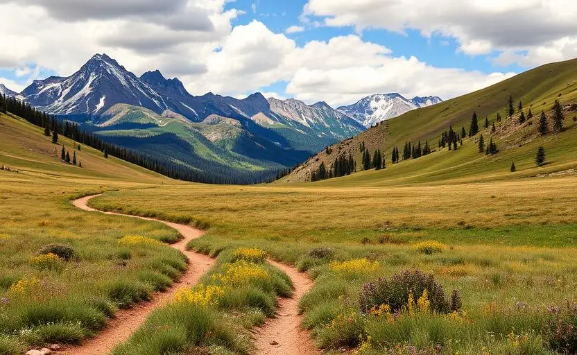
The Jemez Mountains sit in the Santa Fe National Forest west of Los Alamos, and the driving here is scenic backcountry road rather than a dedicated OHV trail system. The named routes are specific. The Jemez Mountain Trail National Scenic Byway follows NM 4 and NM 126, both paved, and the unpaved motorized access runs on forest roads including FR 376 and FR 144. FR 376 north is the route to the San Antonio Hot Springs trailhead, a five mile drive on the forest road followed by a 0.7 mile walk to the springs themselves. Because the Santa Fe National Forest manages travel by designated route, the Motor Vehicle Use Map is the document that decides where you may legally drive and which vehicle classes are allowed on each road. Carry the current MVUM and treat it as authoritative over any map app. One seasonal closure catches people out every year: FR 376 north to the San Antonio Hot Springs trailhead is closed to motorized traffic from March 3 through July 1 annually, though non-motorized access is allowed during the closure, so you can still walk or ride a bike in. Dispersed camping is permitted in designated corridors shown on the MVUM, with the usual guidance to stay at least 200 feet from water and 300 feet from trails. The landscape is volcanic, built on the Valles Caldera, with ponderosa and mixed conifer, red rock, and hot springs fed by the same geology. Elevation means winter snow closes roads and summer brings a genuine monsoon season with afternoon thunderstorms from July into September. Jemez Springs and Los Alamos are the practical supply stops. This page describes access and permits for the area's forest road network rather than one specific route, because the record does not name a single trail.
Fun Facts
The Jemez Mountain Trail National Scenic Byway follows NM 4 and NM 126 through the volcanic landscape of the Valles Caldera.
San Antonio Hot Springs is reached by a five mile drive on FR 376 followed by a 0.7 mile walk.
The Santa Fe National Forest manages travel by designated route, so the Motor Vehicle Use Map governs where you can drive.
🛞 Tires
🔧 Suspension
⚙️ Drivetrain
🪢 Recovery
📦 Other
Closest campgrounds to Jemez Mountain Trail:
- Vista Linda Campground · 4 mi (straight-line)
- Redondo Campground · 7 mi (straight-line)
- San Antonio Campground · 8 mi (straight-line)
- Clear Creek Campground · 17 mi (straight-line)
- Ponderosa Group Campground · Los Alamos · 19 mi (straight-line)
- Rio Puerco Campground · 23 mi (straight-line)
Straight-line distance. Check the map for drive time.
GPS Coordinates
Import into Gaia GPS, OnX Offroad, or Garmin
Map of Jemez Springs, NM
5-Day Forecast
Nearby Trails
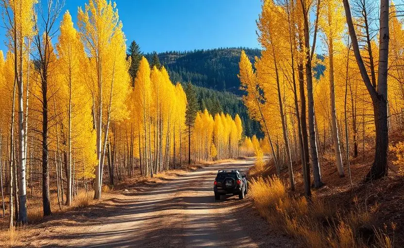
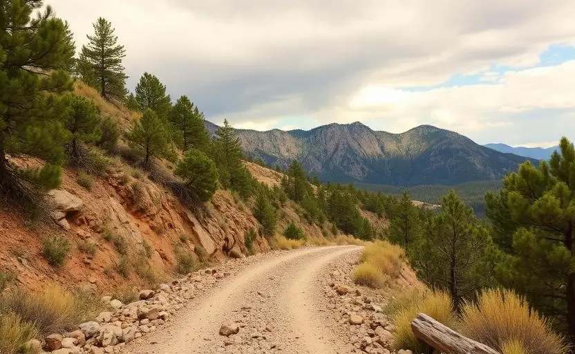
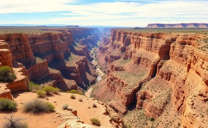
WHAT YOU'LL NEED
Stock rigs can usually run this trail, but the right tire size and fitment make it more enjoyable.
Tire Size Calculator
Convert tire sizes and compare diameter differences before you swap.
Verify your stock tires meet minimum clearance for this trail.
Gear Ratio Calculator
Find the right gear ratio after lifting or upsizing tires.
Re-gear after a tire upgrade to restore trail torque and MPG.
Wheel Fitment Calculator
Calculate backspacing and offset so wider wheels clear your suspension.
Ensure any wheel upgrade clears your factory suspension.