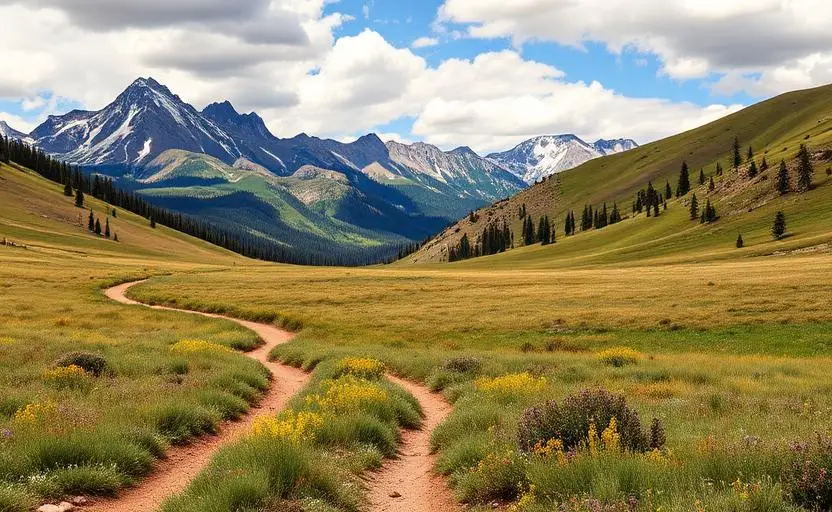
Carson National Forest
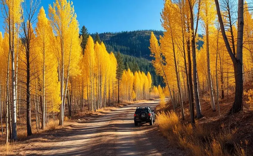
Carson National Forest is a hard 90+ miles off-road trail near Taos, NM, best run June - October. The gear list marks 33"+ all-terrain tires, 3"+ lift kit, 4WD with low range and Skid plates as required, and Rear locker and Winch as recommended. Stock trucks and Jeeps are not recommended without the required build parts.
Trail Conditions
No reports yet
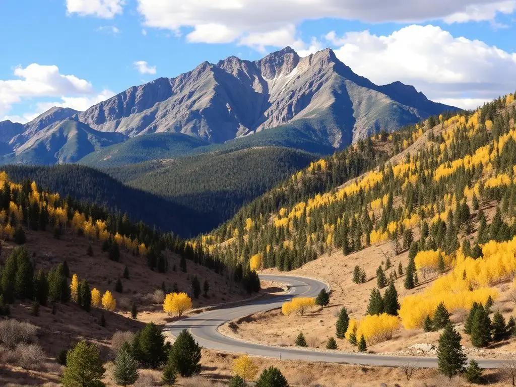
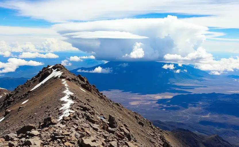
Carson National Forest encompasses the highest peaks and most dramatic alpine scenery in New Mexico. The Sangre de Cristo Mountains here reach over 13,000 feet, supporting alpine tundra, wildflower meadows, and dense spruce-fir forests. Mountain roads climb to treeline and beyond, offering views that rival the Colorado Rockies.
Fun Facts
Carson National Forest is named for Kit Carson, the famous frontiersman.
Wheeler Peak at 13,161 feet is New Mexico's highest point.
The Enchanted Circle Scenic Byway loops through the forest connecting Taos, Angel Fire, and Red River.
Carson Forest contains some of the southernmost alpine tundra in the Rocky Mountains.
🛞 Tires
🔧 Suspension
⚙️ Drivetrain
🪢 Recovery
🛡️ Protection
Closest campgrounds to Carson National Forest:
- Twining Campground · 5 mi (straight-line)
- Columbine Campground · 7 mi (straight-line)
- Questa Lodge · Questa · 9 mi (straight-line)
- Elephant Rock Campground · Red River · 10 mi (straight-line)
- Junebug Campground · 11 mi (straight-line)
- Red River RV Park · Red River · 11 mi (straight-line)
Straight-line distance. Check the map for drive time.
GPS Coordinates
Import into Gaia GPS, OnX Offroad, or Garmin
Map of Taos, NM
5-Day Forecast
Nearby Trails
WHAT YOU'LL NEED
This trail rewards preparation. Run these tools before you load up, the numbers matter.
Tire Size Calculator
Convert tire sizes and compare diameter differences before you swap.
Running 35s or 37s? Confirm fitment and sidewall height before you go.
Gear Ratio Calculator
Find the right gear ratio after lifting or upsizing tires.
Low-range crawl ratio is everything on technical terrain, calculate yours first.
Wheel Fitment Calculator
Calculate backspacing and offset so wider wheels clear your suspension.
Extra wheel width = extra clearance on tight lines. Check offset before buying.
MPG Calculator
Estimate fuel economy after a tire upgrade, important for remote runs.
Bigger tires cut MPG. Plan your fuel stops for this trail.
Trail Matchmaker
Not sure this trail matches your rig's current build? Find out fast.
Answer 6 questions and confirm Carson National Forest is right for your setup, or find a better match.