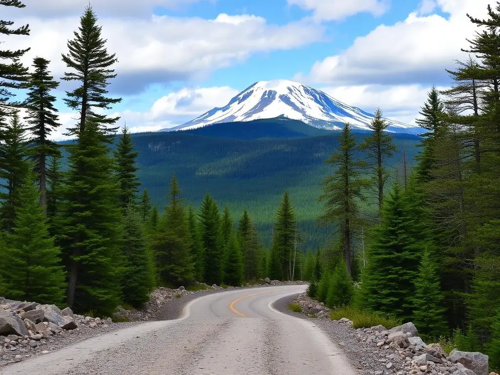
Baxter State Park Roads
Baxter State Park Roads is a moderate 40+ miles off-road trail near Millinocket, ME, best run May - October. The gear list marks All-terrain tires as required, and 4WD capability as recommended. A stock high-clearance 4x4 can run it; check the gear list before you go.
Trail Conditions
No reports yet
Maine's crown jewel wilderness surrounding Mount Katahdin, the northern terminus of the Appalachian Trail. Gravel roads wind past pristine ponds, through boreal forest, with moose visible around nearly every bend. The park's 'forever wild' management means no modern amenities, just pure wilderness.
Fun Facts
Baxter State Park was donated entirely by former Governor Percival Baxter over 30 years.
Mount Katahdin is the first place in the U.S. to see sunrise each morning.
The park is managed as 'forever wild', no electricity, running water, or cell service.
🛞 Tires
⚙️ Drivetrain
Closest campgrounds to Baxter State Park Roads:
- Big Spring Brook Hut · Patten · 7 mi (straight-line)
- Haskell Hut · Patten · 8 mi (straight-line)
- Upper East Branch Campsite · Patten · 9 mi (straight-line)
- Esker Campsite · Patten · 14 mi (straight-line)
- Sandbank Stream Campground · Patten · 16 mi (straight-line)
- Lunksoos Campsites · Patten · 17 mi (straight-line)
Straight-line distance. Check the map for drive time.
Where to Camp
6 campgrounds within 30 miles of this trail
GPS Coordinates
Import into Gaia GPS, OnX Offroad, or Garmin
Map of Millinocket, ME
5-Day Forecast
Nearby Trails

WHAT YOU'LL NEED
A mild lift, all-terrain tires, and correct gear ratio will get you through this trail confidently.
Tire Size Calculator
Convert tire sizes and compare diameter differences before you swap.
Size up correctly, 33s vs 35s matters on moderate terrain.
Gear Ratio Calculator
Find the right gear ratio after lifting or upsizing tires.
Re-gear after a tire upgrade to restore trail torque and MPG.
Wheel Fitment Calculator
Calculate backspacing and offset so wider wheels clear your suspension.
Extra wheel width = extra clearance on tight lines. Check offset before buying.
MPG Calculator
Estimate fuel economy after a tire upgrade, important for remote runs.
Bigger tires cut MPG. Plan your fuel stops for this trail.