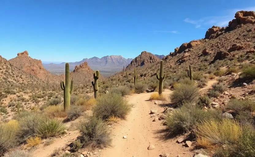
Tonto National Forest Backcountry
Tonto National Forest Backcountry is a hard 100+ miles off-road trail near Mesa, AZ, best run October - May. The gear list marks 33"+ mud-terrain tires, 3"+ lift kit, 4WD with low range and Recovery straps as required, and Rear locker and Winch as recommended. Stock trucks and Jeeps are not recommended without the required build parts.
Trail Conditions
No reports yet
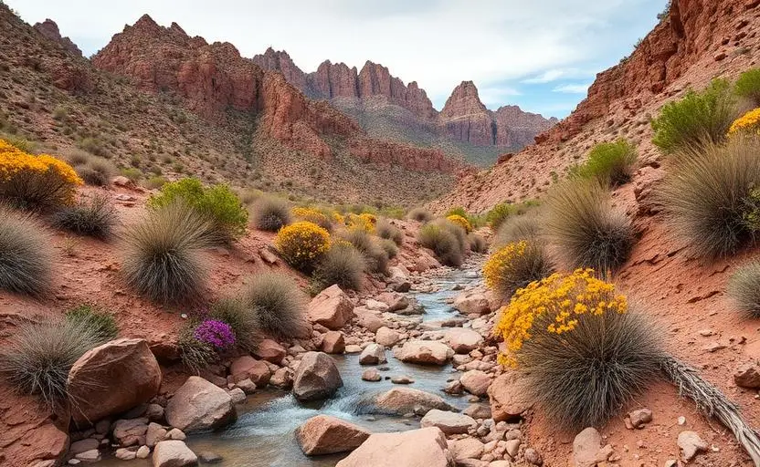
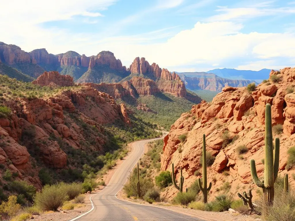
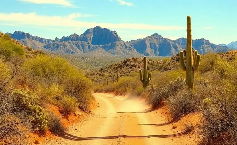
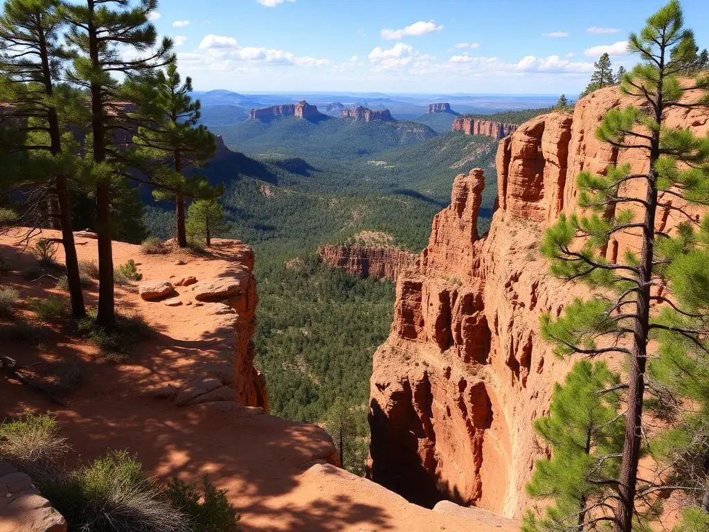
Tonto National Forest is a vast desert wilderness stretching from the eastern suburbs of Phoenix into the rugged mountains of central Arizona. The forest's nearly 3 million acres encompass everything from saguaro-studded desert lowlands to pine-covered mountain peaks. Technical trails wind through rocky washes and steep canyons, while easier forest roads provide access to dispersed camping and scenic overlooks.
Fun Facts
Tonto National Forest is the fifth-largest national forest in the US at nearly 3 million acres.
The forest is the most visited in the entire National Forest system due to its proximity to Phoenix.
Theodore Roosevelt Dam, completed in 1911, was the world's largest masonry dam at the time.
The Superstition Mountains within the forest are home to the legendary Lost Dutchman's Gold Mine.
🛞 Tires
🔧 Suspension
⚙️ Drivetrain
🪢 Recovery
🛡️ Protection
Closest campgrounds to Tonto National Forest Backcountry:
- Cholla Campground · 8 mi (straight-line)
- Frazier Campground · 13 mi (straight-line)
- Schoolhouse Campground · 20 mi (straight-line)
- Eagle View RV Resort · Fort McDowell · 20 mi (straight-line)
- Sawmill Flats Campground · 22 mi (straight-line)
- Rock Shadows RV Resort · Apache Junction · 24 mi (straight-line)
Straight-line distance. Check the map for drive time.
GPS Coordinates
Import into Gaia GPS, OnX Offroad, or Garmin
Map of Mesa, AZ
5-Day Forecast
Nearby Trails
WHAT YOU'LL NEED
This trail rewards preparation. Run these tools before you load up, the numbers matter.
Tire Size Calculator
Convert tire sizes and compare diameter differences before you swap.
Running 35s or 37s? Confirm fitment and sidewall height before you go.
Gear Ratio Calculator
Find the right gear ratio after lifting or upsizing tires.
Low-range crawl ratio is everything on technical terrain, calculate yours first.
Wheel Fitment Calculator
Calculate backspacing and offset so wider wheels clear your suspension.
Extra wheel width = extra clearance on tight lines. Check offset before buying.
MPG Calculator
Estimate fuel economy after a tire upgrade, important for remote runs.
Bigger tires cut MPG. Plan your fuel stops for this trail.
Trail Matchmaker
Not sure this trail matches your rig's current build? Find out fast.
Answer 6 questions and confirm Tonto National Forest Backcountry is right for your setup, or find a better match.