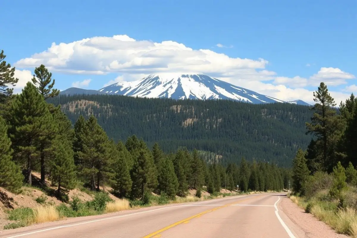
Rampart Range Road
Rampart Range Road is a easy 60 miles off-road trail near Colorado Springs, CO. It requires a stock high-clearance 4WD with all-terrain tires and is best run May - October. Stock Jeep Wranglers, 4Runners, and Tacomas can complete it without modifications.
Trail Conditions
No reports yet
Rampart Range Road stretches 60 miles along the Front Range foothills, connecting Garden of the Gods to Sedalia through Pike National Forest. This is Colorado's most accessible mountain road adventure, offering stunning views of Pikes Peak and the Continental Divide without extreme difficulty. The well-maintained gravel road is suitable for most vehicles, though rain and snowmelt can create challenging conditions. Countless dispersed camping spots line the route, making it perfect for weekend getaways from the Denver and Colorado Springs metro areas.
Fun Facts
Rampart Range Road was built by the Civilian Conservation Corps during the Great Depression.
The road runs along the geological boundary between the Rockies and the Great Plains.
Devils Head Fire Lookout, accessed from the road, is one of the last staffed lookouts in Colorado.
The area was heavily logged in the 1800s to build Denver and the railroads.
🛞 Tires
🔧 Suspension
⚙️ Drivetrain
🪢 Recovery
📦 Other
Where to Camp
GPS Coordinates
Import into Gaia GPS, OnX Offroad, or Garmin
Map of Colorado Springs, CO
5-Day Forecast
Nearby Trails
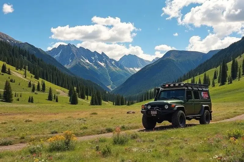
WHAT YOU'LL NEED
Stock rigs can usually run this trail, but the right tire size and fitment make it more enjoyable.
Tire Size Calculator
Convert tire sizes and compare diameter differences before you swap.
Verify your stock tires meet minimum clearance for this trail.
Gear Ratio Calculator
Find the right gear ratio after lifting or upsizing tires.
Re-gear after a tire upgrade to restore trail torque and MPG.
Wheel Fitment Calculator
Calculate backspacing and offset so wider wheels clear your suspension.
Ensure any wheel upgrade clears your factory suspension.