
Lassen Backcountry Roads
Lassen Backcountry Roads is a moderate 100+ miles off-road trail near Chester, CA, best run June - October. The gear list marks All-terrain tires, 4WD capability and Tow strap as required, and 2" lift kit and Bear canister as recommended. A stock high-clearance 4x4 can run it; check the gear list before you go.
Trail Conditions
No reports yet
The backcountry surrounding Lassen Volcanic National Park offers forest road exploration through one of the most volcanically active landscapes in the Cascades. Roads wind past steaming fumaroles, through forests recovering from the 1915 eruption, and alongside pristine alpine lakes that fill ancient calderas. The relatively low visitation compared to other California parks means genuine solitude on weekdays. Juniper Lake Road provides one of the best backcountry driving experiences, climbing through dense forest to a remote lakeside campground beneath Lassen Peak's snow-streaked slopes.
Fun Facts
Lassen Peak is one of the largest plug dome volcanoes in the world, last erupting in 1915.
Bumpass Hell is the largest hydrothermal area in Lassen Volcanic NP with boiling mud pots and fumaroles.
The 1915 eruption sent a mushroom cloud 30,000 feet into the air, visible from Sacramento.
Lassen is one of the few places in the world where all four types of volcanoes are found in one area.
🛞 Tires
🔧 Suspension
⚙️ Drivetrain
🪢 Recovery
📦 Other
Closest campgrounds to Lassen Backcountry Roads:
- Southwest Campground - Winter/Spring · Mineral · 4 mi (straight-line)
- Southwest Campground - Summer/Fall · Mineral · 4 mi (straight-line)
- Manzanita Lake Campground · Shingletown · 4 mi (straight-line)
- Summit Lake South Campground · Mineral · 4 mi (straight-line)
- Summit Lake North Campground · Mineral · 4 mi (straight-line)
- Lost Creek Group Campground · Shingletown · 5 mi (straight-line)
Straight-line distance. Check the map for drive time.
Where to Camp
6 campgrounds within 30 miles of this trail
GPS Coordinates
Import into Gaia GPS, OnX Offroad, or Garmin
Map of Chester, CA
5-Day Forecast
Nearby Trails
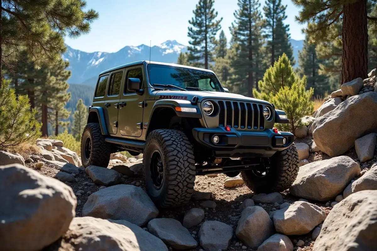

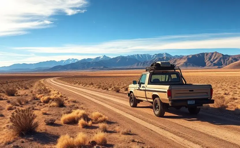
WHAT YOU'LL NEED
A mild lift, all-terrain tires, and correct gear ratio will get you through this trail confidently.
Tire Size Calculator
Convert tire sizes and compare diameter differences before you swap.
Size up correctly, 33s vs 35s matters on moderate terrain.
Gear Ratio Calculator
Find the right gear ratio after lifting or upsizing tires.
Re-gear after a tire upgrade to restore trail torque and MPG.
Wheel Fitment Calculator
Calculate backspacing and offset so wider wheels clear your suspension.
Extra wheel width = extra clearance on tight lines. Check offset before buying.
MPG Calculator
Estimate fuel economy after a tire upgrade, important for remote runs.
Bigger tires cut MPG. Plan your fuel stops for this trail.