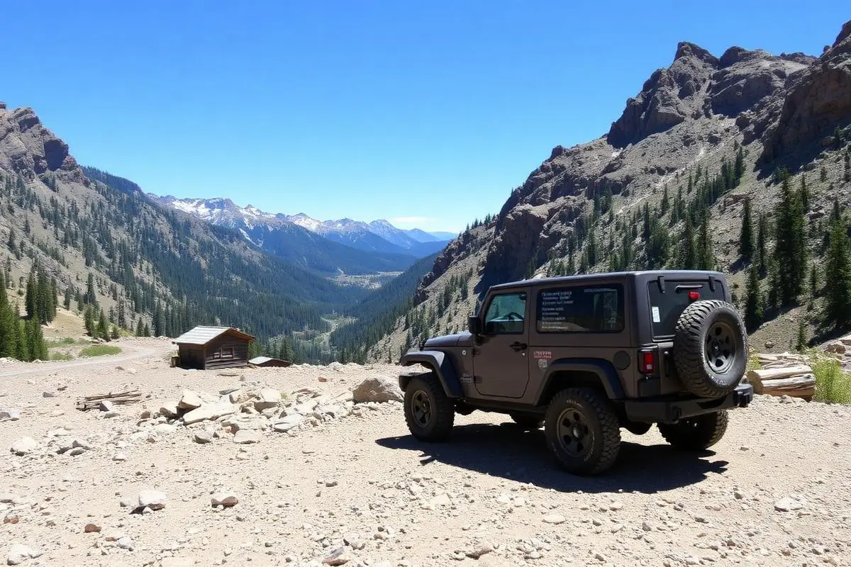
Imogene Pass
Imogene Pass is a hard 17 miles off-road trail near Ouray to Telluride, CO. It requires a properly built 4x4 with 32"+ all-terrain tires, 4WD with low range, Recovery straps and is best run July - September. Stock trucks and Jeeps are not recommended; plan on the required modifications before attempting it.
Trail Conditions
No reports yet
Imogene Pass connects two of Colorado's most beautiful mountain towns, Ouray and Telluride, via a high-altitude crossing that reaches 13,114 feet. The trail passes through the remarkably preserved ghost town of Tomboy, where mining-era buildings still stand against the alpine backdrop. Unlike Black Bear Pass, Imogene is achievable for most properly equipped 4WD vehicles, though the rocky sections and extreme altitude still demand respect. The summit views encompass endless rows of 13,000 and 14,000-foot peaks, making this one of Colorado's most rewarding drives.
Fun Facts
At 13,114 feet, Imogene Pass is the second-highest drivable pass in Colorado.
Tomboy, the ghost town midway up from Telluride, was once home to 1,500 people and had its own newspaper.
The pass is named after Imogene Richardson, wife of a mining company executive.
A footrace is held each September from Ouray to Telluride via the pass, covering 17 miles with 5,300 feet of climb.
🛞 Tires
🔧 Suspension
⚙️ Drivetrain
🪢 Recovery
🛡️ Protection
📦 Other
Closest campgrounds to Imogene Pass:
- Alpine Glow Campground · Ouray · 6 mi
- East Portal Campground · Montrose · 41 mi
- South Rim Campground · Montrose · 42 mi
- North Rim Campground · Crawford · 45 mi
Where to Camp
GPS Coordinates
Import into Gaia GPS, OnX Offroad, or Garmin
Map of Ouray to Telluride, CO
5-Day Forecast
Nearby Trails
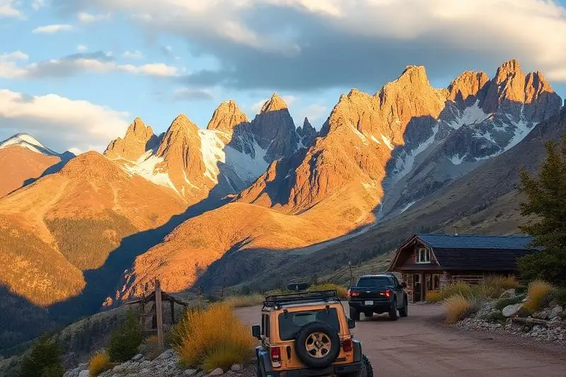
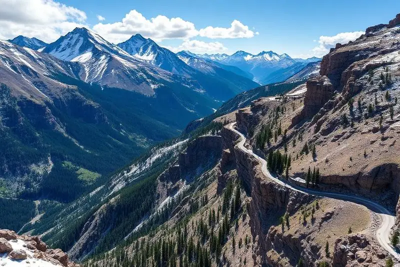
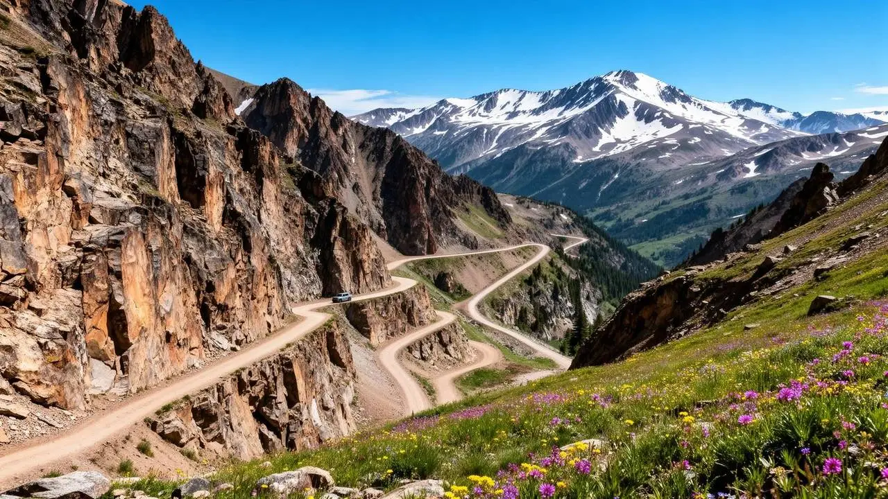
WHAT YOU'LL NEED
This trail rewards preparation. Run these tools before you load up, the numbers matter.
Tire Size Calculator
Convert tire sizes and compare diameter differences before you swap.
Running 35s or 37s? Confirm fitment and sidewall height before you go.
Gear Ratio Calculator
Find the right gear ratio after lifting or upsizing tires.
Low-range crawl ratio is everything on technical terrain, calculate yours first.
Wheel Fitment Calculator
Calculate backspacing and offset so wider wheels clear your suspension.
Extra wheel width = extra clearance on tight lines. Check offset before buying.
MPG Calculator
Estimate fuel economy after a tire upgrade, important for remote runs.
Bigger tires cut MPG. Plan your fuel stops for this trail.
Trail Matchmaker
Not sure this trail matches your rig's current build? Find out fast.
Answer 6 questions and confirm Imogene Pass is right for your setup, or find a better match.