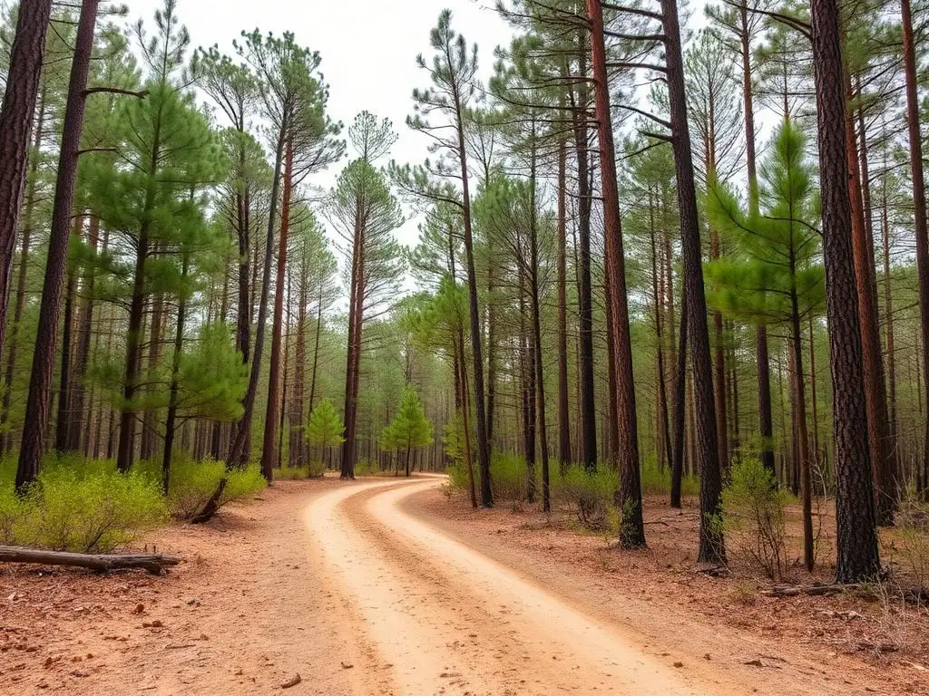
De Soto National Forest
De Soto National Forest is an easy 60+ miles off-road trail near Hattiesburg, MS, best run Year-round. No gear is marked required; All-terrain tires is recommended. A stock high-clearance 4x4 can run it; check the gear list before you go.
Trail Conditions
No reports yet
Southern Mississippi's De Soto National Forest protects one of the most endangered ecosystems in North America, the longleaf pine savanna. Sandy forest roads wind through open, park-like stands maintained by controlled burns, creating excellent visibility and easy off-road touring.
Fun Facts
De Soto National Forest is home to one of the largest remaining longleaf pine ecosystems.
The endangered red-cockaded woodpecker nests in old-growth longleaf pines here.
Black Creek is a National Wild and Scenic River.
🛞 Tires
Closest campgrounds to De Soto National Forest:
- Cypress Creek Landing · 21 mi (straight-line)
Straight-line distance. Check the map for drive time.
GPS Coordinates
Import into Gaia GPS, OnX Offroad, or Garmin
Map of Hattiesburg, MS
5-Day Forecast
Nearby Trails
Nothing within 150 miles. The nearest trails are 161 mi away.


WHAT YOU'LL NEED
Stock rigs can usually run this trail, but the right tire size and fitment make it more enjoyable.
Tire Size Calculator
Convert tire sizes and compare diameter differences before you swap.
Verify your stock tires meet minimum clearance for this trail.
Gear Ratio Calculator
Find the right gear ratio after lifting or upsizing tires.
Re-gear after a tire upgrade to restore trail torque and MPG.
Wheel Fitment Calculator
Calculate backspacing and offset so wider wheels clear your suspension.
Ensure any wheel upgrade clears your factory suspension.