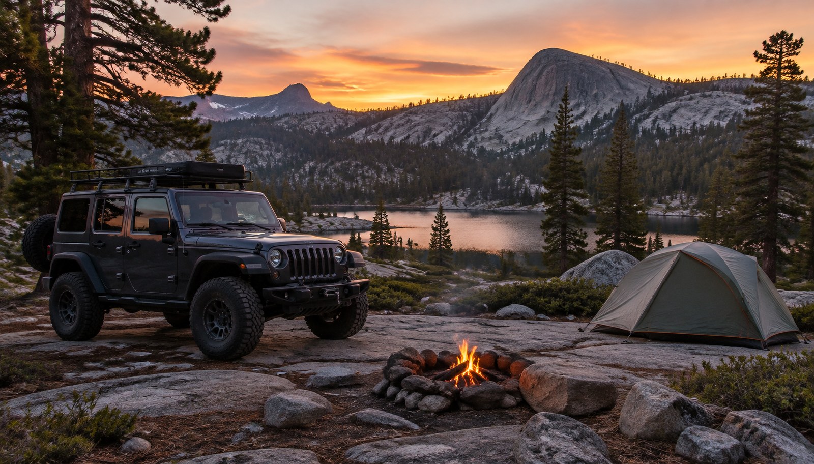
It's 4 p.m., the group just cleared the Big Sluice, and everyone's thinking the same thing: where are we sleeping tonight? On the Rubicon that's a real question, because the trail runs through national forest, private land and two counties, and each has its own rules about where you can stop.
Here's the plan we'd hand a first-timer. It's built from our trail and campground data, then checked against the agencies that manage each piece: Eldorado National Forest, Tahoe National Forest, El Dorado County, Placer County and the private owners of Rubicon Springs.
Why Plan Rubicon Trail Camping Now, in November
The 2026 campground season is over, but the trail stays open year-round barring events like fires, per the Rubicon Trail Foundation, which says only the most prepared rigs should attempt winter travel. Eldorado National Forest lists Loon Lake and Gerle Creek campgrounds as closed. It gave Wentworth Springs and Airport Flat an anticipated closure date of October 18, 2026.
The 2027 clock starts in under eight weeks. Rubicon Springs' reservation page says requests for the 2027 season open January 1, 2027 and close May 1, 2027. After that, everyone comes first come, first served. The 2027 user fee is $25 per vehicle per night.
The Honest Truth: There's One Real Campground Mid-Trail, and It's Private
There's no Forest Service campground in the middle of the Rubicon. The developed campgrounds sit at the western end, off Ice House Road and Wentworth Springs Road.
The famous mid-trail camp, Rubicon Springs, is private property. Rubicon Soda Springs Inc. says 20 families bought it in 1985, and a shareholder board runs it. Placer County calls it "the place to spend the night while traveling the Rubicon Trail." Just know you're a paying guest on private land, not a camper on public land.
Everywhere else along the trail, you're dispersed camping under the rules of whoever owns the ground. El Dorado County notes the trail crosses "portions of private lands" as well as the Eldorado National Forest. If you can't tell whose land you're on, don't camp there. The Rubicon Trail Foundation, a federally recognized nonprofit dedicated to the trail, says "Virtually ALL of the camping on the trail itself is dispersed." It names the usual spots: Wentworth Springs, Ellis Creek, Walker Hill, Winter Camp near the Little Sluice, the Little Sluice slab area, the foundation's own property, Buck Island Lake, Rubicon Springs and the top of Cadillac Hill at Observation Point. That's a list of where people camp, not a permit, so the agency rules below still apply.
The Rubicon at a Glance
It helps to know the shape of the trail before picking camps. From El Dorado County's trail information page and Placer County:
- Length: about 22 miles from Georgetown to Lake Tahoe, but the section from Loon Lake to Lake Tahoe is about 12 miles, per El Dorado County. Georgetown to Wentworth Springs is maintained road.
- Direction: normally run west to east. East to west is "running backwards."
- Two western trailheads: Wentworth Springs is the true trailhead. Loon Lake is the more popular one. They meet at Ellis Creek, about a mile from each.
- Eastern trailhead: Tahoma, in Placer County, managed by the Lake Tahoe Basin Management Unit.
- Elevation: El Dorado County gives about 5,400 to over 7,000 feet. Placer County puts the trail's high point at 7,700 feet.
- Toilets: El Dorado County maintains 12 along the trail, marked on its trail map. Rubicon Springs has a privately maintained toilet.
Rubicon Trail Camping, Stop by Stop
Distances below are the agencies' own cues, not GPS mileage. Neither county publishes a campsite-by-mile list, so we haven't made one up.
Night 0, west end: stage at a campground
Loon Lake Campground (Eldorado National Forest). The biggest developed campground at the busiest trailhead. - 53 sites plus 9 equestrian sites - $36 single, $72 double - Reserve on Recreation.gov 4 days to 6 months ahead - Season late June to October, elevation 6,500 feet - All food goes in the bear boxes
Wentworth Springs Campground (Eldorado National Forest). Free, with 8 tent sites, a vault toilet and no potable water, at 6,200 feet. - It sits at the true western trailhead. - The Forest Service says the road in is rough. It recommends 4WD, though a 2WD pickup with ample clearance can make it. - No trash service, so pack it out. The Forest Service also asks trail users to carry WAG bags.
Gerle Creek and Airport Flat (Eldorado National Forest). Both are lower, at 5,300 feet, and work as overflow. - Gerle Creek: 50 sites at $36 single, reservable 3 days to 6 months out, season June to September. - Airport Flat: free, season June to October. The Forest Service lists the Rubicon 4WD Trail within 5 miles and reminds visitors that off-highway vehicles need proper Green Sticker registration.
Day 1: Loon Lake to Rubicon Springs
El Dorado County describes the route in order:
- Granite Bowl. The Loon Lake route starts at the bottom of the spillway at the second dam and crosses the Granite Bowl.
- Ellis Creek, about a mile in. The Loon Lake and Wentworth Springs routes join here.
- Walker Hill. A three-part climb, with a wide spot at the top in a grove of heavy timber.
- Little Sluice. Only about 100 feet long, and considered by many the hardest part of the trail. Most drivers rest near Spider Lake afterward, but the county notes Spider Lake is closed to OHV access.
- Granite shelf, about a mile past the Little Sluice. It overlooks Buck Island Reservoir. The trail splits here into the Granite Slab and Old Sluice routes, which rejoin just before the dam.
- Buck Island Reservoir. The trail crosses the dam, skirts the reservoir and climbs a low pass.
- Big Sluice. A long downhill crawl.
- Rubicon Springs. Cross the bridge over the Rubicon River and continue down the valley to the springs, at the El Dorado and Placer county line.
Where to sleep on day 1: Rubicon Springs. - $25 per vehicle per night for 2027 - Reservations aren't required. Requests run January 1 to May 1, 2027, then it's first come, first served. - Every group checks in with the caretaker on arrival. - The springs' camp map names its areas: Committee Camp, Dirty Dozen, Mog Camp, Pine Camp, River Sites, Rocky Point and VIP. - Check the event calendar first. During events marked "exclusive use," the springs can't take other guests.
Day 2: Rubicon Springs to Tahoma
Placer County describes this end from Tahoma inward, so here it is reversed for a west-to-east run:
- Cadillac Hill. A steep, very difficult climb out of the valley, with named obstacles including Morris Rock and V-Rock. Observation Point at the top is the classic group photo spot.
- Potato Patch. Just past a granite area with a two-foot ledge.
- The Barker Pass Road fork. About three-quarters of a mile past the Potato Patch is the trail's high point at 7,700 feet, where it meets Barker Pass Road. Ellis Peak's turnoff is half a mile beyond.
- Miller Lake. Camp sites on the north side of the trail, with steel fire pits and a boat ramp. This is your third-night option.
- Into the Lake Tahoe Basin Management Unit. The trail levels for about two miles on Tahoe National Forest land. The basin unit starts about two miles before the staging area.
- Buck Lake Trail. About half a mile before the staging area. Placer County says Buck Lake, about a mile up that trail, "provides an area to camp and fish." This end is on the Lake Tahoe Basin Management Unit, where Forest Order 19-24-05 bans camping except at the sites it lists, for 14 days a year. Buck Lake is on that list, and so is a strip within 300 feet of the McKinney-Rubicon Springs Road (14N34) from the staging area west to the Tahoe National Forest line, except within a quarter mile of a campground, day use area, parking area, paved road or trailhead.
- Staging area, then 1.5 miles of pavement to Tahoma. The staging area has pit toilets, maps and a spill kit depository. Placer County says the Tahoma trailhead has trailer parking.
Our campground data lists two developed campgrounds in Tahoma for the night after: Meeks Bay Resort Campground (USFS Lake Tahoe Basin Management Unit, May to October) and Sugar Pine Point State Park Campground (California State Parks). The foundation's Tahoe-side pick is Kaspian Campground.
Fire Rules on the Rubicon: Read This Before You Pack Firewood
Fire rules on the Rubicon change with the season and the agency, so here's how they stack up.
The permit. A California Campfire Permit is required for open fires. On federally managed land it covers wood fires, charcoal barbecues and portable gas stoves. - It's free, and you can get it online. - You must be 18 or older to sign it. - It expires December 31, so get one in the year you go. - The Forest Service is clear that it "does not give a person permission to access or camp on National Forest or private lands."
A typical year. Eldorado National Forest says typical fire restrictions allow only gas stoves and lanterns, and prohibit wood and charcoal fires outside designated campgrounds.
Right now. The Eldorado and Tahoe national forests have restrictions in place as we publish: - Eldorado National Forest, Forest Order 03-26-08 (September 30 through November 29, 2026): no fires except in stoves, grills or rings at the developed recreation sites listed in the order. Campfire permit holders may still use gas stoves, lanterns and propane fire pits with a shut-off valve, at least three feet from flammable material. - Tahoe National Forest, Order 17-26-25 (October 9 through November 30, 2026): Stage 1 restrictions with the same structure. Fires are allowed only in grills or rings at listed recreation sites, and gas appliances with a shut-off valve are allowed for permit holders.
Miller Lake's steel fire pits sit on the Tahoe National Forest, and Miller Lake isn't among the recreation sites in the order's Exhibit A. Until the order ends November 30, that means gas only at Miller Lake.
At the Tahoma end, all year. The last two miles before the staging area are on the Lake Tahoe Basin Management Unit, under Forest Order 19-24-04, which runs through December 1, 2027. Wood and charcoal fires are allowed only in the permanent pits and grills at the sites it lists, and Buck Lake isn't one of them. Permit holders can still use a gas stove, lantern or propane pit. Order 19-24-03 also requires bear-resistant storage for unattended food and garbage on all of the unit's land.
On private land. Rubicon Springs sets its own rules. Ask the caretaker at check-in.
The penalty. Both orders cite fines up to $5,000 for an individual, up to six months in jail, or both.
The Honest Warts
Stay limits are real. On the Eldorado, dispersed camping is limited to 10 days per ranger district per calendar year, and developed campgrounds to 14. The Tahoe allows 14 days for each. On the Lake Tahoe Basin unit, you can camp only at the sites its order lists, for 14 days a year. Nobody running the Rubicon in a weekend is going to hit those, but groups who stay to work on the trail can.
No water you can trust. Wentworth Springs and Airport Flat have no potable water. The Forest Service says river water must be boiled and isn't tested.
Bears. Every Eldorado campground page we checked warns about bears and asks you to store food properly. At Loon Lake, food must go in the bear boxes.
Help is far away. The Forest Service says that because of Wentworth Springs' remote location, "emergency medical aid is not readily available," and asks for a well-stocked first aid kit.
Waste. Bring WAG bags, and use the county's 12 toilets and the springs' toilet. A Rubicon camp with no toilet plan is how trails get closed. Placer County says threats to water quality "can and will close the trail to all users."
Rubicon Trail Camp Plan Verdict
| Plan | Night 0 | Night 1 | Night 2 | Best for |
|---|---|---|---|---|
| Two days | Loon Lake or Wentworth Springs | Rubicon Springs ($25 per vehicle) | Out to Tahoma | Groups with trail-ready rigs and a repeat driver |
| Three days | Loon Lake or Wentworth Springs | Rubicon Springs ($25 per vehicle) | Miller Lake | First-timers, slow groups, anyone who wants to fish or hike |
| Backwards (east to west) | Meeks Bay Resort or Sugar Pine Point | Miller Lake or Rubicon Springs | Out to Loon Lake | Groups who want Cadillac Hill as a climb on day one |
Our trail page says to plan two to three days. Our take, as opinion: if anyone in your group hasn't done the Little Sluice, plan three, because the Rubicon punishes a schedule.
Who Should Use This Plan, and Who Shouldn't
Use it if you're driving a built rig on a summer or early fall run and want a legal, low-drama place to sleep every night. Our Rubicon Trail page lists the build: front and rear lockers, 35-inch or larger tires, a 3-inch or taller lift with re-geared axles, armor and a winch.
Rethink it if your group wants campfires every night. In a typical year, the fire rules alone make this a gas-stove trip.
Skip it if you're hoping to drive to Spider Lake. The county says it's closed to OHV access.
Bottom Line
The best place to camp on the Rubicon Trail is the one you picked before the trailhead. That means a Forest Service campground at Loon Lake or Wentworth Springs the night before, and Rubicon Springs at $25 a vehicle for night one. On a three-day run, add Miller Lake on the Tahoma end. Get your free California Campfire Permit, pack a gas stove, and send this to whoever's emailing Rubicon Springs on January 1.
Internal Links
Sources
All pages checked October 20, 2026.
- Rubicon Springs, Reservations (2027 reservation window, $25 per vehicle per night, caretaker check-in, exclusive-use events): https://www.rubiconsprings.com/reservations/
- Rubicon Springs, About (1985 purchase, shareholder board): https://www.rubiconsprings.com/about/
- Rubicon Springs, Map of Camp: https://www.rubiconsprings.com/map/
- El Dorado County Parks and Trails, Rubicon Trail (campfire permits; contacts): https://www.eldoradocounty.ca.gov/Land-Use/Parks-Trails/Rubicon-Trail
- El Dorado County Parks and Trails, Information to the Rubicon Trail (length, trailheads, 12 toilets, route description, Spider Lake closure): https://www.eldoradocounty.ca.gov/Land-Use/Parks-Trails/Rubicon-Trail/Information-to-the-Rubicon-Trail
- Placer County, McKinney-Rubicon OHV Trail (Tahoma trailhead; water quality rules): https://www.placer.ca.gov/1548/McKinney-Rubicon-OHV-Trail
- Placer County, The Current Trail (Tahoma to Rubicon Springs route, Buck Lake, Miller Lake, Cadillac Hill): https://www.placer.ca.gov/1565/The-Current-Trail
- Eldorado National Forest, Loon Lake Campground: https://www.fs.usda.gov/r05/eldorado/recreation/loon-lake-campground
- Eldorado National Forest, Wentworth Springs Campground: https://www.fs.usda.gov/r05/eldorado/recreation/wentworth-springs-campground
- Eldorado National Forest, Gerle Creek Campground: https://www.fs.usda.gov/r05/eldorado/recreation/gerle-creek-campground
- Eldorado National Forest, Airport Flat Campground: https://www.fs.usda.gov/r05/eldorado/recreation/airport-flat-campground
- Eldorado National Forest, Campfire Permits (last updated April 28, 2026): https://www.fs.usda.gov/r05/eldorado/permits/campfire-permits
- Eldorado National Forest, Fire Restrictions are in Effect Forest Wide (Forest Order 03-26-08): https://www.fs.usda.gov/r05/eldorado/alerts/fire-restrictions-are-effect-forest-wide
- Eldorado National Forest, Camping Occupancy Restrictions (Forest Order 03-25-08): https://www.fs.usda.gov/r05/eldorado/alerts/camping-occupancy-restrictions
- Tahoe National Forest, Stage 1 Fire Restrictions (Order 17-26-25): https://www.fs.usda.gov/r05/tahoe/alerts/stage-1-fire-restrictions
- Tahoe National Forest, 14-day Camping Occupancy Restrictions (Order 17-26-05): https://www.fs.usda.gov/r05/tahoe/alerts/14-day-camping-occupancy-restrictions-0
- Lake Tahoe Basin Management Unit, Camping/Overnight Stay Restriction (Forest Order 19-24-05; Exhibit A lists Buck Lake and the 14N34 corridor): https://www.fs.usda.gov/r05/laketahoebasin/alerts/camping-overnight-stay-restriction
- Lake Tahoe Basin Management Unit, Campfire Restrictions (Forest Order 19-24-04, year-round through December 1, 2027): https://www.fs.usda.gov/r05/laketahoebasin/alerts/campfire-restrictions
- Lake Tahoe Basin Management Unit, Food and Refuse Storage (Forest Order 19-24-03): https://www.fs.usda.gov/r05/laketahoebasin/alerts/food-and-refuse-storage
- Rubicon Trail Foundation, Camping (dispersed camping list; Kaspian on the Tahoe side): https://www.rubicontrailfoundation.org/trailinfomation/camping/
- Rubicon Trail Foundation, Conditions (open 24/7, 365 days a year; winter warning): https://www.rubicontrailfoundation.org/conditions/