
Ouachita Mountain Trails
Ouachita Mountain Trails is a moderate 120+ miles off-road trail near Mena, AR, best run Year-round. The gear list marks All-terrain tires as required, and 4WD capability and Basic recovery kit as recommended. A stock high-clearance 4x4 can run it; check the gear list before you go.
Trail Conditions
No reports yet
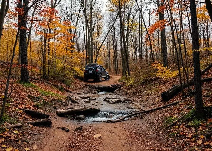
The Ouachita Mountains offer a distinctly different Arkansas experience from the Ozarks to the north. Running east-west across the state into Oklahoma, these ancient ridges create long valleys perfect for overlanding exploration. Forest service roads climb through pine-covered slopes to ridgetop vistas looking across wave after wave of forested mountains. Hot springs bubble up throughout the region, and the crystal-clear streams are some of the cleanest in the central United States.
Fun Facts
The Ouachita Mountains run east-west, unlike nearly every other range in North America which runs north-south.
Hot Springs National Park in the Ouachitas is the only national park located within a city.
The Ouachita Mountains contain the world's largest deposits of novaculite, used for whetstones.
🛞 Tires
⚙️ Drivetrain
🪢 Recovery
Closest campgrounds to Ouachita Mountain Trails:
- Little Pines Recreation Area · 19 mi (straight-line)
- Little Coon Creek Park · Grannis · 25 mi (straight-line)
- Big Coon Creek · Gillham · 26 mi (straight-line)
- Winding Stair Campground · BIG CEDAR · 26 mi (straight-line)
- Cossatot Reefs · Gillham · 27 mi (straight-line)
- Cedar Lake · Hodgen · 29 mi (straight-line)
Straight-line distance. Check the map for drive time.
GPS Coordinates
Import into Gaia GPS, OnX Offroad, or Garmin
Map of Mena, AR
5-Day Forecast
Nearby Trails

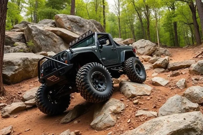

WHAT YOU'LL NEED
A mild lift, all-terrain tires, and correct gear ratio will get you through this trail confidently.
Tire Size Calculator
Convert tire sizes and compare diameter differences before you swap.
Size up correctly, 33s vs 35s matters on moderate terrain.
Gear Ratio Calculator
Find the right gear ratio after lifting or upsizing tires.
Re-gear after a tire upgrade to restore trail torque and MPG.
Wheel Fitment Calculator
Calculate backspacing and offset so wider wheels clear your suspension.
Extra wheel width = extra clearance on tight lines. Check offset before buying.
MPG Calculator
Estimate fuel economy after a tire upgrade, important for remote runs.
Bigger tires cut MPG. Plan your fuel stops for this trail.