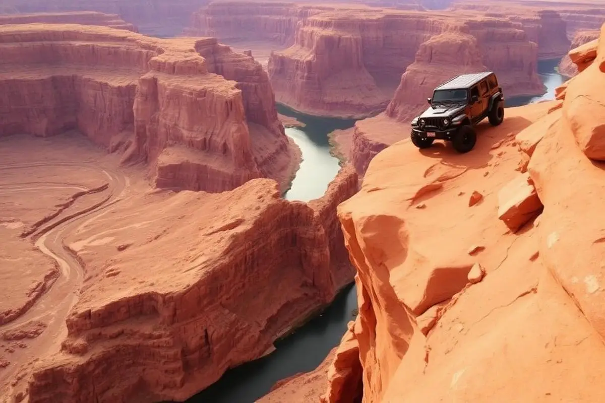
Hell's Revenge
Hell's Revenge is a 6.5-mile hard slickrock trail in the Sand Flats Recreation Area near Moab, Utah. Entry is $10 per private vehicle for 7 days, collected at the Sand Flats entrance station. Our record calls for 4WD with low range and a rear locker, 33-inch or larger mud-terrain tires, a 2 to 3 inch lift, rock sliders and recovery gear.
Trail Conditions
No reports yet
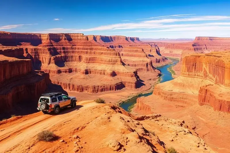
Hell's Revenge is Moab's most famous slickrock trail, a 6.5-mile playground of petrified sand dunes that showcases everything that makes Utah wheeling legendary. The trail climbs across steep sandstone fins, dips into sand-filled bowls, and winds past sheer drop-offs with views of the Colorado River far below. Named obstacles like Hell's Gate, Escalator, and Tip-Over Challenge have become bucket-list features for off-roaders worldwide. The unique Navajo Sandstone provides remarkable traction when dry, allowing vehicles to ascend seemingly impossible angles. At every turn, the red rock landscape offers stunning photography opportunities, especially during golden hour when the sandstone glows.
Fun Facts
The slickrock here is actually Navajo Sandstone, about 180 million years old from ancient sand dunes.
Despite the name, the rock provides excellent traction when dry due to its sandpaper-like texture.
The Hell's Gate obstacle was featured in countless magazine covers and videos since the 1970s.
The Colorado River visible from the trail carved the landscape over millions of years.
Know before you go
- Fees: $10 per private vehicle for 7 days, $5 per bicycle or motorcycle, or $35 for an annual pass. National Parks and Federal Recreational Lands passes are not valid here, except the Access Pass.
- Sand Flats is managed by Grand County and the BLM. It has about 30 miles of jeep trails and 140 first-come, first-served campsites at $20 per night per vehicle. Six group sites can be reserved on Recreation.gov.
- Getting there: from the Moab Field Office, head south on US 191, turn left at the first light onto 4th East, right on Mill Creek Road, then continue straight onto Sand Flats Road to the entrance station.
🛞 Tires
🔧 Suspension
⚙️ Drivetrain
🪢 Recovery
🛡️ Protection
📦 Other
Closest campgrounds to Hell's Revenge:
- Devils Garden Campground · Moab · 15 mi (straight-line)
- Island in the Sky (Willow Flat) Campground · Moab · 23 mi (straight-line)
Straight-line distance. Check the map for drive time.
GPS Coordinates
Import into Gaia GPS, OnX Offroad, or Garmin
Map of Moab, UT
5-Day Forecast
Nearby Trails
WHAT YOU'LL NEED
This trail rewards preparation. Run these tools before you load up, the numbers matter.
Tire Size Calculator
Convert tire sizes and compare diameter differences before you swap.
Running 35s or 37s? Confirm fitment and sidewall height before you go.
Gear Ratio Calculator
Find the right gear ratio after lifting or upsizing tires.
Low-range crawl ratio is everything on technical terrain, calculate yours first.
Wheel Fitment Calculator
Calculate backspacing and offset so wider wheels clear your suspension.
Extra wheel width = extra clearance on tight lines. Check offset before buying.
MPG Calculator
Estimate fuel economy after a tire upgrade, important for remote runs.
Bigger tires cut MPG. Plan your fuel stops for this trail.
Trail Matchmaker
Not sure this trail matches your rig's current build? Find out fast.
Answer 6 questions and confirm Hell's Revenge is right for your setup, or find a better match.
Frequently Asked Questions
Sources: BLM: Sand Flats Recreation Area. Facts checked October 11, 2026 by Abe Choe.