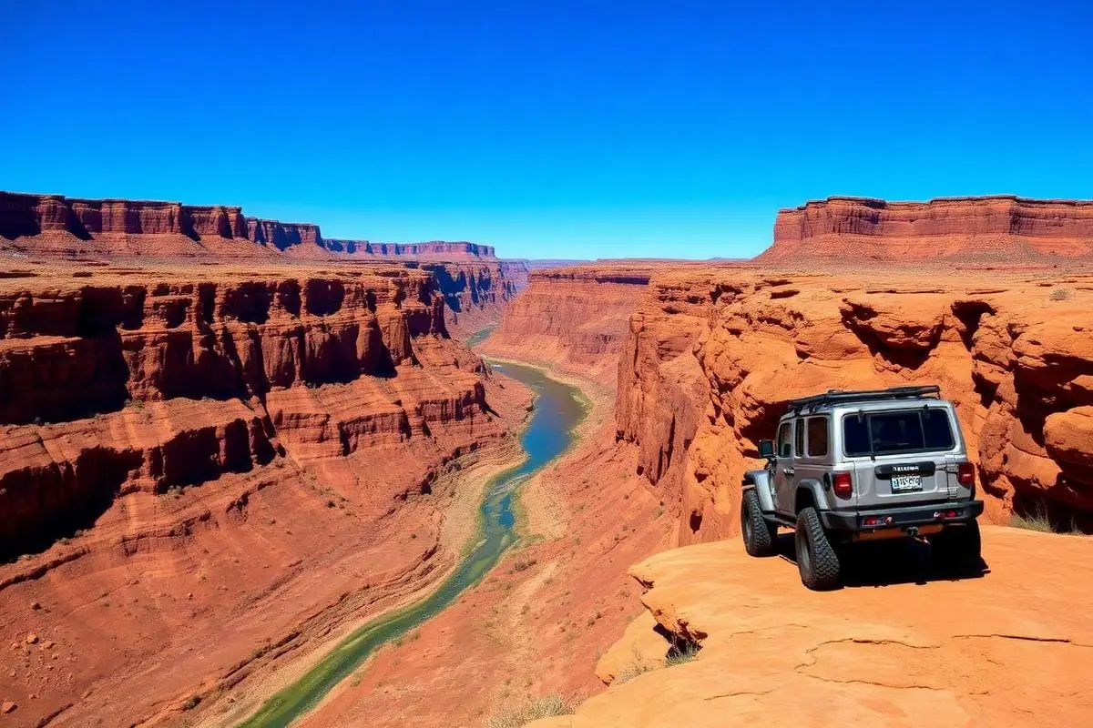
Lockhart Basin
Lockhart Basin is a moderate 50 miles off-road trail near Moab, UT. It requires a properly built 4x4 with 32"+ all-terrain tires, 4WD with low range, Recovery straps and is best run April - October. Stock trucks and Jeeps are not recommended; plan on the required modifications before attempting it.
Trail Conditions
No reports yet
Lockhart Basin represents Moab's overlanding side, trading technical rock crawling for remote canyon country exploration across 59 miles of backcountry road. The route connects Moab to the Needles District of Canyonlands through some of the most isolated terrain in Utah. Canyon rim overlooks provide vertigo-inducing views, while ancient riparian zones offer shaded camping. This is multi-day adventure territory, requiring self-sufficiency and a willingness to be truly remote. The reward is solitude and scenery that day-tripping Moab crowds never experience.
Fun Facts
Lockhart Basin is part of a 59-mile route connecting Moab to the Needles District of Canyonlands.
The route follows the rim of the Colorado River canyon for much of its length.
Uranium prospectors blazed many of these roads in the 1950s atomic boom.
The area contains some of the least-visited terrain in the entire Moab region.
🛞 Tires
🔧 Suspension
⚙️ Drivetrain
🪢 Recovery
🛡️ Protection
📦 Other
Closest campgrounds to Lockhart Basin:
- Island in the Sky (Willow Flat) Campground · Moab · 12 mi
- The Needles Campground · Moab · 13 mi
- The Needles District Group Campsites · Moab · 13 mi
- Devils Garden Campground · Moab · 33 mi
Where to Camp
GPS Coordinates
Import into Gaia GPS, OnX Offroad, or Garmin
Map of Moab, UT
5-Day Forecast
WHAT YOU'LL NEED
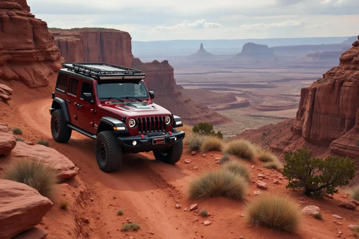
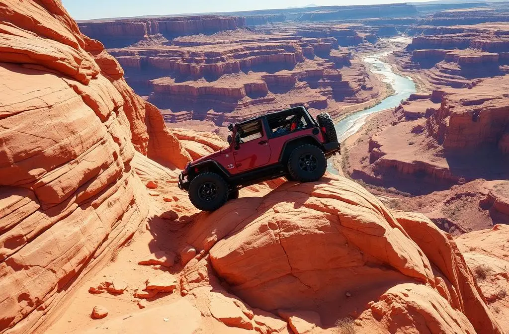
A mild lift, all-terrain tires, and correct gear ratio will get you through this trail confidently.
Tire Size Calculator
Convert tire sizes and compare diameter differences before you swap.
Size up correctly, 33s vs 35s matters on moderate terrain.
Gear Ratio Calculator
Find the right gear ratio after lifting or upsizing tires.
Re-gear after a tire upgrade to restore trail torque and MPG.
Wheel Fitment Calculator
Calculate backspacing and offset so wider wheels clear your suspension.
Extra wheel width = extra clearance on tight lines. Check offset before buying.
MPG Calculator
Estimate fuel economy after a tire upgrade, important for remote runs.
Bigger tires cut MPG. Plan your fuel stops for this trail.