
Huron National Forest
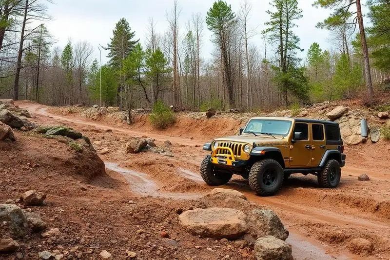
Huron National Forest is a easy 100+ miles off-road trail near Oscoda, MI. It requires a stock high-clearance 4WD with all-terrain tires and is best run May - October. Stock Jeep Wranglers, 4Runners, and Tacomas can complete it without modifications.
Trail Conditions
No reports yet
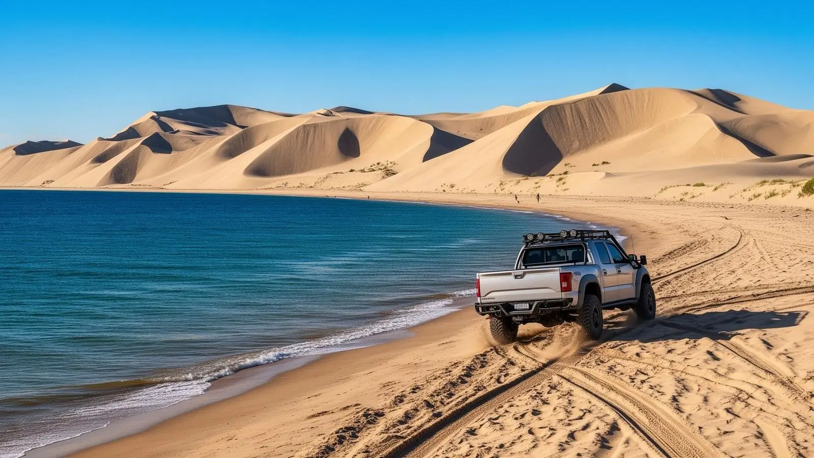
Huron National Forest occupies Michigan's northern Lower Peninsula, where sandy glacial soils support vast jack pine forests along the shores of Lake Huron. Two-track roads wind through these forests to secluded beaches where you can camp within earshot of Great Lakes waves. The Au Sable River, famous for its trout fishing, bisects the forest and provides swimming holes and kayaking opportunities. Unlike the dense forests of Upper Michigan, the Huron's open pine barrens and sandy terrain create a unique Midwest landscape that feels more like the coastal South than the industrial Midwest.
Fun Facts
The Au Sable River flowing through the forest is considered the birthplace of modern fly fishing in the Midwest.
Huron National Forest was the first national forest east of the Mississippi, established in 1909.
The Kirtland's warbler, once nearly extinct, was saved by habitat management in these jack pine forests.
The forest's sand dunes along Lake Huron are remnants of ancient glacial lakeshores.
🛞 Tires
🔧 Suspension
⚙️ Drivetrain
🪢 Recovery
Where to Camp
GPS Coordinates
Import into Gaia GPS, OnX Offroad, or Garmin
Map of Oscoda, MI
5-Day Forecast
WHAT YOU'LL NEED
Stock rigs can usually run this trail, but the right tire size and fitment make it more enjoyable.
Tire Size Calculator
Convert tire sizes and compare diameter differences before you swap.
Verify your stock tires meet minimum clearance for this trail.
Gear Ratio Calculator
Find the right gear ratio after lifting or upsizing tires.
Re-gear after a tire upgrade to restore trail torque and MPG.
Wheel Fitment Calculator
Calculate backspacing and offset so wider wheels clear your suspension.
Ensure any wheel upgrade clears your factory suspension.