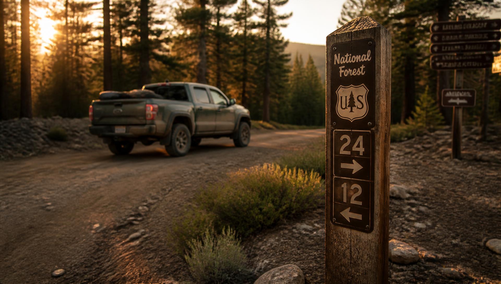
You know the spur. Everybody has one. It peels off the forest road past the last cattle guard and ends at a flat spot by the creek that is exactly one rig wide. It is on the satellite imagery. It is not on the Motor Vehicle Use Map. You have driven past it a hundred times with your hand on the shifter and kept going, because the MVUM is the law and the fine is real.
In late August, the Forest Service proposed rewriting the Travel Management Rule that spur lives under. Not tweaking it. Inverting it. The 2005 Travel Management Rule starts from the assumption that a road or trail on national forest land is closed to motor vehicles unless the agency has gone through the work of designating it open. The proposal filed on August 24 starts from the opposite assumption: open, unless somebody documents a reason to close it. That is the entire ballgame, and it applies to more than 380,000 miles of road and 165,000 miles of trail across a system that hosts 164 million visits a year.
The comment window closes September 23, 2026. There is a second one, on the Roadless Rule, that closes September 21. Most of the coverage you have seen on either one was written by people who do not own a locker, and it shows. So here is the version for people who actually drive this stuff.
What the Travel Management Rule Change Actually Does, and When
Two separate filings, two weeks, two different regulations. They get blended together constantly in coverage, and they do very different things.
| Action | Filed | Docket | Comments close | What it touches |
|---|---|---|---|---|
| Roadless Rule rescission | Aug 20, 2026 | FS-2025-0001 | Sept 21, 2026 | Road construction and timber harvest across 58.5M acres of inventoried roadless area |
| Travel Management Rule rewrite | Aug 24, 2026 | FS-2026-0100 | Sept 23, 2026 | 36 CFR 212. Where motor vehicles may legally travel on 545,000 miles of road and trail |
The Travel Management piece traces directly to one document. On May 29, 2026, the administration signed an executive order titled "Removing Unnecessary and Counterproductive Restrictions on Access to Federal Lands," which revoked Nixon's Executive Order 11644 and Carter's 11989. Those two orders had been the legal spine under federal off-road vehicle restrictions since the 1970s. Revoking an executive order does not open a trail, it starts a rulemaking. This is the rulemaking, and it arrived roughly on schedule.
Deputy Secretary of Agriculture Stephen Vaden framed it plainly in the August 21 announcement: "Public lands are for public use, yet for too long, Forest Service regulations have stood in the way of public recreation access." Forest Service Chief Tom Schultz called it the legal foundation to "streamline and modernize" the rule.
The Presumption Flip Is the Whole Story
Strip away the procedural language and the Travel Management proposal does six things that matter to anyone with a hitch and a set of recovery boards.
It establishes an access presumption. The proposed language holds that existing roads, trails, airfields, trailheads and other access points are open to appropriate public use unless closure is required by law, by valid existing rights, or supported by "specific, documented and justifiable reasons." Today the burden runs the other way. A forest has to affirmatively designate a route open and put it on the MVUM. Under this proposal, a forest has to affirmatively justify shutting one.
It removes the minimization criteria. Subparts B and C currently require the agency to designate routes in a way that minimizes damage to soil and vegetation, harassment of wildlife, and conflict between user groups. Those criteria came straight out of Nixon's 1972 order. The proposal strikes them. Hold that thought, because it is the most consequential sentence in the whole filing.
It puts closed routes on an annual review clock. Every year, forests would have to look back at closed or heavily restricted roads, trails, airfields and trailheads and ask whether the closure still makes sense. Right now a closure can sit untouched through an entire forest plan cycle, which runs fifteen years or longer.
It opens the door to limited off-route travel. The proposal would create a national process for authorizing off-route motor vehicle use for downed big-game retrieval, firewood collection, dispersed camping, and over-snow recreation. Today that varies wildly by forest and is more often prohibited than allowed.
It exempts Class 1 e-bikes. Pedal-assist, no throttle, cutoff at 20 mph. Under the proposal, a Class 1 e-bike would no longer count as a motor vehicle requiring designation, and would be allowed wherever bicycles are allowed, subject to forest plan direction. This is the single cleanest, most immediately usable change in the document.
It moves the map online. The proposal calls for integrated digital maps as the authoritative source for designations. Anyone who has downloaded a scanned PDF MVUM from 2011, squinted at a dashed line, and then argued about it with a friend at a junction understands why this matters.
The Honest Truth: The Roadless Rescission Will Not Open a Single Trail to You
The 2001 Roadless Area Conservation Rule does not prohibit driving. It never did. It prohibits road construction, road reconstruction, and commercial timber harvest inside inventoried roadless areas. If a route was legally open to your rig on August 19, it is legally open today, and rescinding the rule does not add a mile of designated trail to your MVUM.
What rescission does is remove the national-level ban on building new roads in those areas. Whether any new road gets built, and whether a new road ever ends up designated for public motor vehicle use rather than gated as an administrative logging or fire-treatment road, are separate decisions made forest by forest, under existing forest plans, with NEPA review attached.
The acreage number deserves the same treatment. You will see 58.5 million acres in the headlines. You will see 44.7 million from the BlueRibbon Coalition. Both are correct, and the gap is the interesting part. Idaho and Colorado have their own state-specific roadless rules that stay in force. Alaska's Tongass is governed by the separate 2020 Alaska Roadless Rule and is untouched by this proposal. Back those out and the practical footprint lands around 44.7 million acres across ten western states.
The strongest argument for rescission is not recreation at all. It is fire. The BlueRibbon Coalition points out that roughly 40 percent of inventoried roadless acreage sits in high or very high wildfire hazard, that about 5 percent of it has seen hazardous-fuels treatment in the last decade, and that 36 million forest acres have burned since the rule took effect. Crews cannot treat what they cannot reach. That is a real argument, and it is a better one than "we want more trails," because more trails is not what this particular rule delivers.
On the other side, the American Hiking Society counts more than 25,000 miles of trail and 5,651 trail routes across 37 states inside those roadless areas, and notes that stretches of the Continental Divide, Pacific Crest, Arizona and Appalachian trails run through them. Those are not abstractions either. A logging road punched through a roadless drainage changes the character of that drainage permanently, and the people who walk it are not wrong to say so.
If you care about where your rig can legally go, the Travel Management docket is where your comment does work. The roadless docket is a different fight.
The Catch: You Are Cheering the Deletion of Your Own Legal Armor
Motorized advocacy groups are calling this the biggest access win in fifty years, and on the face of it they are right. But look at how access was actually lost over the last decade. Moab was not lost at a gate. It was lost in a courtroom, out of a 2008 lawsuit, when 317 miles around Labyrinth Rims and Gemini Bridges came off the map. The Western Mojave was not lost at a gate either. A judge ordered BLM to redo its route network in January 2026 and more than 2,200 miles went dark.
In both cases the agency lost because its administrative record was thin. It could not show its work. It could not demonstrate that it had weighed impacts route by route and documented why a designation was reasonable. The minimization criteria are, functionally, the checklist that forces an agency to build that record. They are annoying, they are slow, and they are also the reason a well-documented open designation survives a challenge.
Delete the checklist and you get faster decisions and thinner files. Thinner files are what plaintiffs' attorneys eat for breakfast. Every environmental organization in the country has already told you it plans to sue, NEPA still applies regardless of what 36 CFR 212 says, and the remedy courts hand down when an agency fails to justify its travel decisions is not "try again next year." It is closure while you fix it. Ask the Western Mojave.
There is a second exposure. This is a rule, not a statute. It was written by executive action and it can be unwritten by executive action, which is exactly what happened to the Public Lands Rule in May, and to Nixon's order two weeks later, and to the Roadless Rule this month. A win that arrives by rulemaking leaves the same way. The durable version of this fight runs through Congress, and nobody is currently running it there.
So: real win, genuinely. Also fragile, and built partly out of the material that made the last decade's losses possible. Both things are true, and an off-road community that only says the first half is going to be surprised again in four years.
What This Means for Your Fall Trip: Nothing
Your MVUM is still your MVUM. The Forest Service said explicitly that existing motor vehicle use designations and maps remain in effect until they are revised locally under whatever amended regulation eventually comes out. Nothing in either filing changes a single route designation right now.
And "eventually" is doing real work in that sentence. A notice of intent to prepare an environmental impact statement is the front of the process, not the back. Comment period, draft EIS, another comment period, final EIS, record of decision, final rule, then forest-by-forest travel planning to actually redraw maps. Two to four years is realistic for the rule. Longer for the maps. Then the litigation.
The spur by the creek is still closed this fall. Drive the MVUM.
| Question | Short answer |
|---|---|
| Are new trails open right now? | No. Existing MVUMs remain in effect until locally revised |
| Does the Roadless rescission open trails? | No. It governs road construction and timber harvest, not vehicle travel |
| What is the biggest real change? | The presumption flip from closed-unless-opened to open-unless-closed |
| What is the most immediate change? | Class 1 e-bikes allowed where bikes are allowed, no motor vehicle designation needed |
| Biggest risk to off-roaders | Removing minimization criteria weakens the record that defends open routes in court |
| When would maps actually change? | Realistically 2028 or later, forest by forest, after the EIS and rulemaking finish |
| What can you do this month | Comment on docket FS-2026-0100 by Sept 23, 2026 |
How to Comment on the Travel Management Rule in Ten Minutes
There are no public scoping meetings planned for the Travel Management proposal. The written record is the whole record, which means a comment genuinely counts for more than usual this round.
Go to regulations.gov and search docket FS-2026-0100 for Travel Management, or FS-2025-0001 for the Roadless proposal. Hardcopy mail also works: Director, Public Benefits, 201 14th Street SW, Washington, DC 20250.
A form-letter comment gets counted and then set aside. A specific one gets read. The agency asked directly for input on vehicle and use exemption conditions, on the scope of the e-bike exemption, on off-route use processes and area designations, and on the Subpart A revisions. Answer one of those with something only you know. Name the forest. Name the road number. Say what you saw, when you saw it, and what you were driving. "I ran Forest Road 428 on the Uncompahgre in July 2026 in a stock 4Runner and the two dispersed sites at mile 3 were reachable only by a spur that is not designated, so people are parking on the meadow instead" is worth a hundred copies of a template.
If you want the honest strategic advice: ask them to keep a documentation standard. You can support the presumption flip and still tell the agency that stripping the minimization criteria without replacing them with a workable record-keeping requirement will get open designations vacated in court. That comment protects your access better than a cheer does.